A1 · Beginner
Iqaluit’s Daylight Record: One Stated-Date Sunrise-Sunset Window
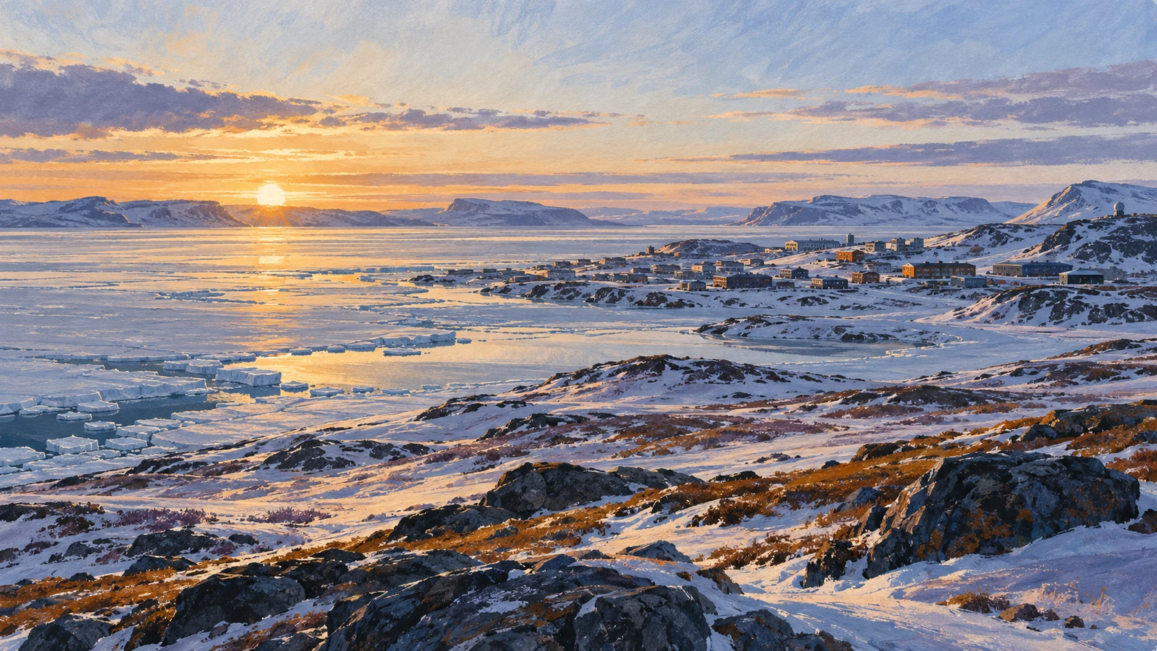
An official meteorological daylight record marks solar sunrise and sunset boundaries in Iqaluit on one stated calendar date.
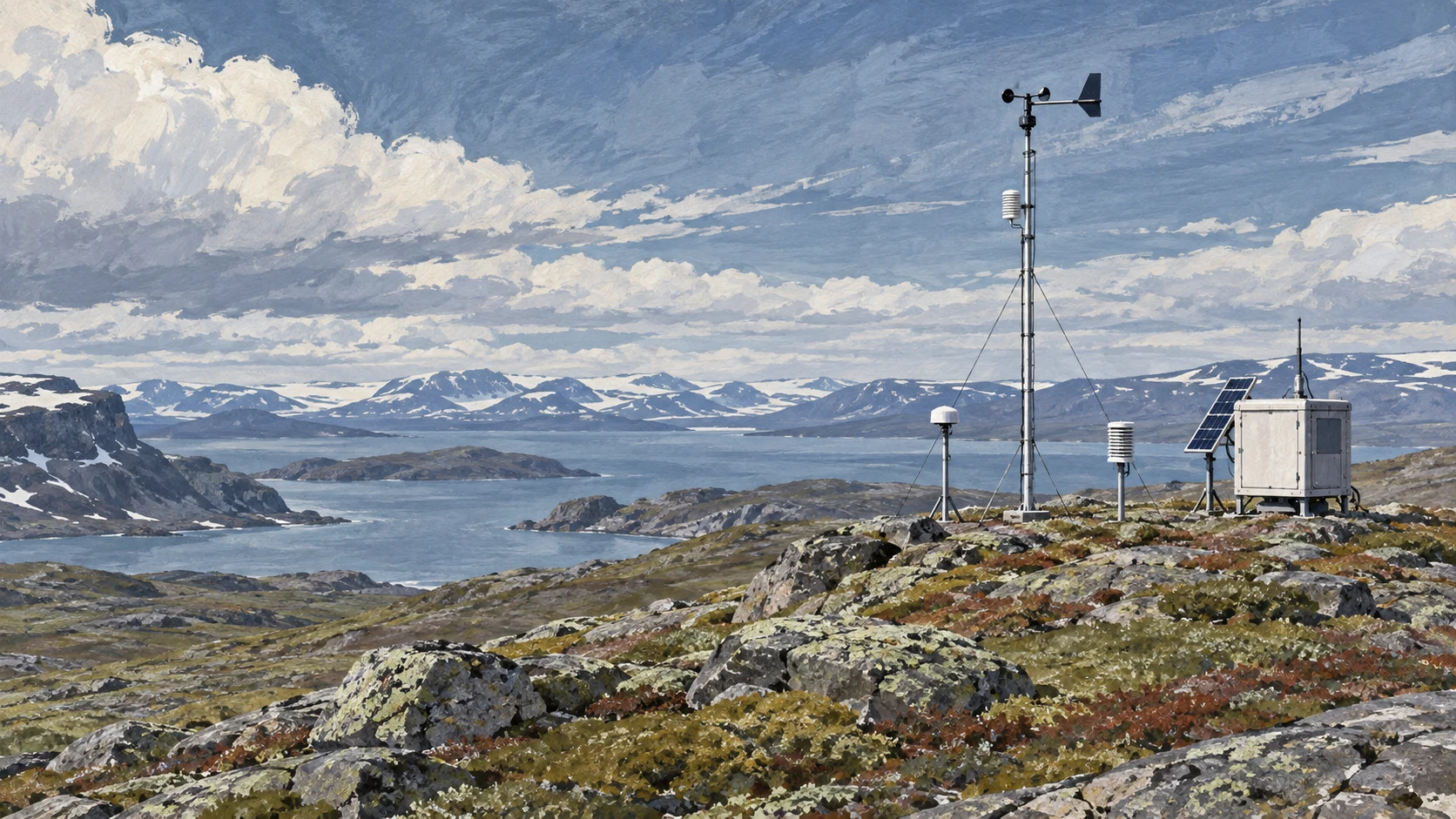
The Weather Forecast and Upper Air Station
Environment and Climate Change Canada publishes daily meteorological forecasts timestamped with specific forecast issue times.
The Iqaluit upper-air weather station operates near the airport at approximately 63.75 degrees North latitude.
Official meteorological records document forecast issuance times based on Eastern Standard Time across the northern territory.
Meteorological forecast products capture instantaneous atmospheric measurements and astronomical projections for defined municipal coordinates.
The Iqaluit forecast ledger originates from automated meteorological sensors calibrated by territorial weather technicians.
Timestamped weather bulletins provide dated technical benchmarks rather than enduring historical weather summaries.

Subarctic Latitude and the Solar Angle
Solar illumination patterns in Iqaluit stem from the Earth's 23.5 degree axial tilt relative to its orbital path.
Geographic coordinates at 63.75 degrees North place Iqaluit just three degrees south of the Arctic Circle.
Solar declination changes progressively throughout the annual orbital cycle, shifting the sun's midday elevation angle.
High-latitude solar geometry produces extreme seasonal variations in the angle of incident sunlight across Baffin Island.
Each stated calendar date exhibits a mathematically determined solar noon altitude above the southern horizon.
Atmospheric refraction near the subarctic horizon causes celestial bodies to appear slightly higher than their true geometric position.
Calculating Sunrise, Sunset, and Civil Twilight
Sunrise is scientifically defined as the moment when the upper edge of the solar disk appears above the ideal horizon.
Sunset occurs at the instant when the trailing upper limb of the solar disk disappears completely below the astronomical horizon.
Civil twilight spans the interval between sunrise or sunset and the moment when the solar center sits six degrees below the horizon.
In high northern latitudes, civil twilight extends significantly longer than in equatorial or temperate zones.
Standard optical atmospheric calculations account for average sea-level barometric pressure and subzero air temperatures in Iqaluit.
Local topography and coastal hills surrounding Koojesse Inlet can obstruct direct solar sightlines before astronomical sunset.
Eastern Time and the Changing Daylight Window
Official time keeping in Iqaluit observes the Eastern Time zone, maintaining synchronization with major Canadian political centers.
The daylight duration window is calculated by subtracting official sunrise time from official sunset time.
During transitional equinoctial weeks in March and September, Iqaluit gains or loses several minutes of daylight each day.
The rate of daily daylight change reaches its annual maximum near the spring and autumn equinoxes.
Published daylight windows represent theoretical optical exposure across flat terrain without considering cloud cover or precipitation.
National Research Council time signals standardize digital clock displays across civic and aviation facilities in Iqaluit.
Seasonal Contrast Between Summer and Winter Solstices
Near the summer solstice in late June, Iqaluit experiences more than twenty hours of continuous daylight alongside all-night civil twilight.
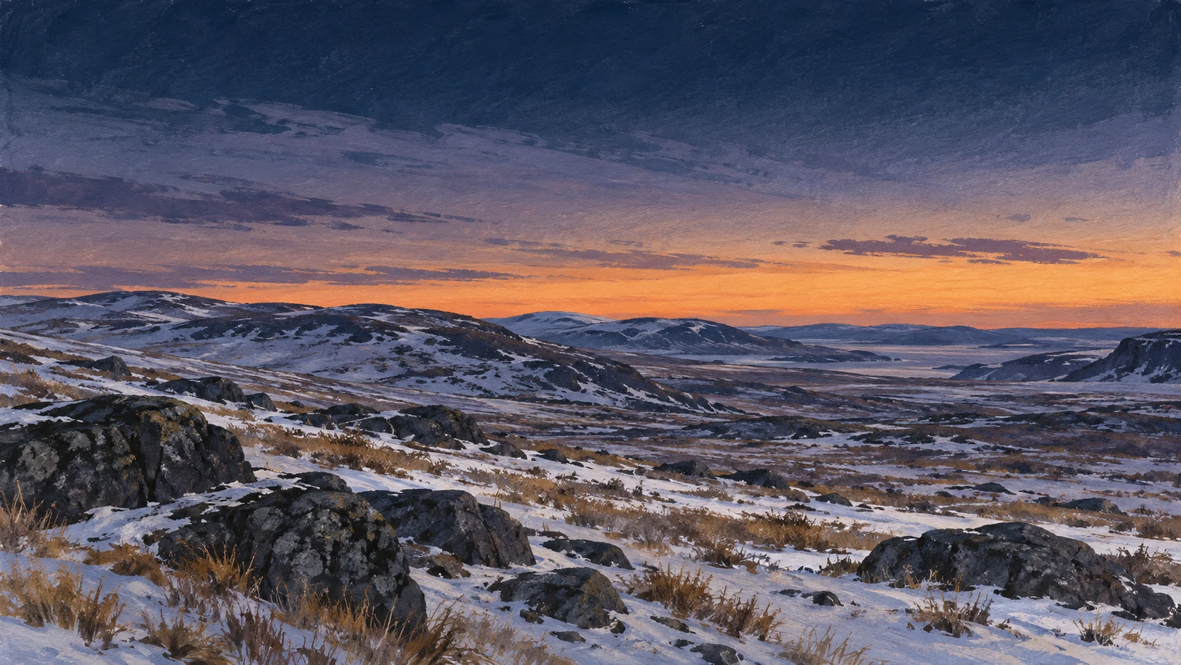
Around the winter solstice in late December, the solar window contracts to approximately four hours of direct low-angle daylight.
Continuous seasonal progression alters astronomical sunrise and sunset values daily across the calendar year.
Polar daylight variations create dramatic contrast between midnight twilight in summer and extended nocturnal conditions in midwinter.
Solar radiation intensity varies widely between summer maximum insolation and diffuse low-angle winter sunlight.
Published almanac tables document predictable astronomical cycles rather than unpredictable local meteorological disturbances.
Distinguishing Solar Coordinates from Human Schedules
Astronomical daylight calculations provide physical solar measurements rather than prescribing human social timetables.
Municipal public services, administrative offices, and school schedules maintain standard operating hours irrespective of outdoor illumination.
Community routines, indoor employment, and commercial services proceed according to synchronized civil clock time throughout the winter.
Traditional Inuit harvesting and land-based travel adapt to seasonal ice conditions, weather stability, and wildlife movement rather than solar tables alone.
Meteorological forecast bulletins do not reflect individual sleep habits, cultural practices, or household daily activities in Iqaluit.
Critical analysis separates objective geophysical data from normative assumptions regarding northern community life.
A2 · Elementary
Iqaluit’s Daylight Record: One Stated-Date Sunrise-Sunset Window
An official meteorological daylight record marks solar sunrise and sunset boundaries in Iqaluit on one stated calendar date.
The Weather Forecast and Upper Air Station
Environment and Climate Change Canada publishes daily meteorological forecasts timestamped with specific forecast issue times.
The Iqaluit upper-air weather station operates near the airport at approximately 63.75 degrees North latitude.
Official meteorological records document forecast issuance times based on Eastern Standard Time across the northern territory.
Meteorological forecast products capture instantaneous atmospheric measurements and astronomical projections for defined municipal coordinates.
The Iqaluit forecast ledger originates from automated meteorological sensors calibrated by territorial weather technicians.
Timestamped weather bulletins provide dated technical benchmarks rather than enduring historical weather summaries.
Subarctic Latitude and the Solar Angle
Solar illumination patterns in Iqaluit stem from the Earth's 23.5 degree axial tilt relative to its orbital path.
Geographic coordinates at 63.75 degrees North place Iqaluit just three degrees south of the Arctic Circle.
Solar declination changes progressively throughout the annual orbital cycle, shifting the sun's midday elevation angle.
High-latitude solar geometry produces extreme seasonal variations in the angle of incident sunlight across Baffin Island.
Each stated calendar date exhibits a mathematically determined solar noon altitude above the southern horizon.
Atmospheric refraction near the subarctic horizon causes celestial bodies to appear slightly higher than their true geometric position.
Calculating Sunrise, Sunset, and Civil Twilight
Sunrise is scientifically defined as the moment when the upper edge of the solar disk appears above the ideal horizon.
Sunset occurs at the instant when the trailing upper limb of the solar disk disappears completely below the astronomical horizon.
Civil twilight spans the interval between sunrise or sunset and the moment when the solar center sits six degrees below the horizon.
In high northern latitudes, civil twilight extends significantly longer than in equatorial or temperate zones.
Standard optical atmospheric calculations account for average sea-level barometric pressure and subzero air temperatures in Iqaluit.
Local topography and coastal hills surrounding Koojesse Inlet can obstruct direct solar sightlines before astronomical sunset.
Eastern Time and the Changing Daylight Window
Official time keeping in Iqaluit observes the Eastern Time zone, maintaining synchronization with major Canadian political centers.
The daylight duration window is calculated by subtracting official sunrise time from official sunset time.
During transitional equinoctial weeks in March and September, Iqaluit gains or loses several minutes of daylight each day.
The rate of daily daylight change reaches its annual maximum near the spring and autumn equinoxes.
Published daylight windows represent theoretical optical exposure across flat terrain without considering cloud cover or precipitation.
National Research Council time signals standardize digital clock displays across civic and aviation facilities in Iqaluit.
Seasonal Contrast Between Summer and Winter Solstices
Near the summer solstice in late June, Iqaluit experiences more than twenty hours of continuous daylight alongside all-night civil twilight.
Around the winter solstice in late December, the solar window contracts to approximately four hours of direct low-angle daylight.
Continuous seasonal progression alters astronomical sunrise and sunset values daily across the calendar year.
Polar daylight variations create dramatic contrast between midnight twilight in summer and extended nocturnal conditions in midwinter.
Solar radiation intensity varies widely between summer maximum insolation and diffuse low-angle winter sunlight.
Published almanac tables document predictable astronomical cycles rather than unpredictable local meteorological disturbances.
Distinguishing Solar Coordinates from Human Schedules
Astronomical daylight calculations provide physical solar measurements rather than prescribing human social timetables.
Municipal public services, administrative offices, and school schedules maintain standard operating hours irrespective of outdoor illumination.
Community routines, indoor employment, and commercial services proceed according to synchronized civil clock time throughout the winter.
Traditional Inuit harvesting and land-based travel adapt to seasonal ice conditions, weather stability, and wildlife movement rather than solar tables alone.
Meteorological forecast bulletins do not reflect individual sleep habits, cultural practices, or household daily activities in Iqaluit.
Critical analysis separates objective geophysical data from normative assumptions regarding northern community life.
B1 · Intermediate
Iqaluit’s Daylight Record: One Stated-Date Sunrise-Sunset Window
An official meteorological daylight record marks solar sunrise and sunset boundaries in Iqaluit on one stated calendar date.
The Weather Forecast and Upper Air Station
Environment and Climate Change Canada publishes daily meteorological forecasts timestamped with specific forecast issue times.
The Iqaluit upper-air weather station operates near the airport at approximately 63.75 degrees North latitude.
Official meteorological records document forecast issuance times based on Eastern Standard Time across the northern territory.
Meteorological forecast products capture instantaneous atmospheric measurements and astronomical projections for defined municipal coordinates.
The Iqaluit forecast ledger originates from automated meteorological sensors calibrated by territorial weather technicians.
Timestamped weather bulletins provide dated technical benchmarks rather than enduring historical weather summaries.
Subarctic Latitude and the Solar Angle
Solar illumination patterns in Iqaluit stem from the Earth's 23.5 degree axial tilt relative to its orbital path.
Geographic coordinates at 63.75 degrees North place Iqaluit just three degrees south of the Arctic Circle.
Solar declination changes progressively throughout the annual orbital cycle, shifting the sun's midday elevation angle.
High-latitude solar geometry produces extreme seasonal variations in the angle of incident sunlight across Baffin Island.
Each stated calendar date exhibits a mathematically determined solar noon altitude above the southern horizon.
Atmospheric refraction near the subarctic horizon causes celestial bodies to appear slightly higher than their true geometric position.
Calculating Sunrise, Sunset, and Civil Twilight
Sunrise is scientifically defined as the moment when the upper edge of the solar disk appears above the ideal horizon.
Sunset occurs at the instant when the trailing upper limb of the solar disk disappears completely below the astronomical horizon.
Civil twilight spans the interval between sunrise or sunset and the moment when the solar center sits six degrees below the horizon.
In high northern latitudes, civil twilight extends significantly longer than in equatorial or temperate zones.
Standard optical atmospheric calculations account for average sea-level barometric pressure and subzero air temperatures in Iqaluit.
Local topography and coastal hills surrounding Koojesse Inlet can obstruct direct solar sightlines before astronomical sunset.
Eastern Time and the Changing Daylight Window
Official time keeping in Iqaluit observes the Eastern Time zone, maintaining synchronization with major Canadian political centers.
The daylight duration window is calculated by subtracting official sunrise time from official sunset time.
During transitional equinoctial weeks in March and September, Iqaluit gains or loses several minutes of daylight each day.
The rate of daily daylight change reaches its annual maximum near the spring and autumn equinoxes.
Published daylight windows represent theoretical optical exposure across flat terrain without considering cloud cover or precipitation.
National Research Council time signals standardize digital clock displays across civic and aviation facilities in Iqaluit.
Seasonal Contrast Between Summer and Winter Solstices
Near the summer solstice in late June, Iqaluit experiences more than twenty hours of continuous daylight alongside all-night civil twilight.
Around the winter solstice in late December, the solar window contracts to approximately four hours of direct low-angle daylight.
Continuous seasonal progression alters astronomical sunrise and sunset values daily across the calendar year.
Polar daylight variations create dramatic contrast between midnight twilight in summer and extended nocturnal conditions in midwinter.
Solar radiation intensity varies widely between summer maximum insolation and diffuse low-angle winter sunlight.
Published almanac tables document predictable astronomical cycles rather than unpredictable local meteorological disturbances.
Distinguishing Solar Coordinates from Human Schedules
Astronomical daylight calculations provide physical solar measurements rather than prescribing human social timetables.
Municipal public services, administrative offices, and school schedules maintain standard operating hours irrespective of outdoor illumination.
Community routines, indoor employment, and commercial services proceed according to synchronized civil clock time throughout the winter.
Traditional Inuit harvesting and land-based travel adapt to seasonal ice conditions, weather stability, and wildlife movement rather than solar tables alone.
Meteorological forecast bulletins do not reflect individual sleep habits, cultural practices, or household daily activities in Iqaluit.
Critical analysis separates objective geophysical data from normative assumptions regarding northern community life.
B2 · Upper Intermediate
Iqaluit’s Daylight Record: One Stated-Date Sunrise-Sunset Window
An official meteorological daylight record marks solar sunrise and sunset boundaries in Iqaluit on one stated calendar date.
The Weather Forecast and Upper Air Station
Environment and Climate Change Canada publishes daily meteorological forecasts timestamped with specific forecast issue times.
The Iqaluit upper-air weather station operates near the airport at approximately 63.75 degrees North latitude.
Official meteorological records document forecast issuance times based on Eastern Standard Time across the northern territory.
Meteorological forecast products capture instantaneous atmospheric measurements and astronomical projections for defined municipal coordinates.
The Iqaluit forecast ledger originates from automated meteorological sensors calibrated by territorial weather technicians.
Timestamped weather bulletins provide dated technical benchmarks rather than enduring historical weather summaries.
Subarctic Latitude and the Solar Angle
Solar illumination patterns in Iqaluit stem from the Earth's 23.5 degree axial tilt relative to its orbital path.
Geographic coordinates at 63.75 degrees North place Iqaluit just three degrees south of the Arctic Circle.
Solar declination changes progressively throughout the annual orbital cycle, shifting the sun's midday elevation angle.
High-latitude solar geometry produces extreme seasonal variations in the angle of incident sunlight across Baffin Island.
Each stated calendar date exhibits a mathematically determined solar noon altitude above the southern horizon.
Atmospheric refraction near the subarctic horizon causes celestial bodies to appear slightly higher than their true geometric position.
Calculating Sunrise, Sunset, and Civil Twilight
Sunrise is scientifically defined as the moment when the upper edge of the solar disk appears above the ideal horizon.
Sunset occurs at the instant when the trailing upper limb of the solar disk disappears completely below the astronomical horizon.
Civil twilight spans the interval between sunrise or sunset and the moment when the solar center sits six degrees below the horizon.
In high northern latitudes, civil twilight extends significantly longer than in equatorial or temperate zones.
Standard optical atmospheric calculations account for average sea-level barometric pressure and subzero air temperatures in Iqaluit.
Local topography and coastal hills surrounding Koojesse Inlet can obstruct direct solar sightlines before astronomical sunset.
Eastern Time and the Changing Daylight Window
Official time keeping in Iqaluit observes the Eastern Time zone, maintaining synchronization with major Canadian political centers.
The daylight duration window is calculated by subtracting official sunrise time from official sunset time.
During transitional equinoctial weeks in March and September, Iqaluit gains or loses several minutes of daylight each day.
The rate of daily daylight change reaches its annual maximum near the spring and autumn equinoxes.
Published daylight windows represent theoretical optical exposure across flat terrain without considering cloud cover or precipitation.
National Research Council time signals standardize digital clock displays across civic and aviation facilities in Iqaluit.
Seasonal Contrast Between Summer and Winter Solstices
Near the summer solstice in late June, Iqaluit experiences more than twenty hours of continuous daylight alongside all-night civil twilight.
Around the winter solstice in late December, the solar window contracts to approximately four hours of direct low-angle daylight.
Continuous seasonal progression alters astronomical sunrise and sunset values daily across the calendar year.
Polar daylight variations create dramatic contrast between midnight twilight in summer and extended nocturnal conditions in midwinter.
Solar radiation intensity varies widely between summer maximum insolation and diffuse low-angle winter sunlight.
Published almanac tables document predictable astronomical cycles rather than unpredictable local meteorological disturbances.
Distinguishing Solar Coordinates from Human Schedules
Astronomical daylight calculations provide physical solar measurements rather than prescribing human social timetables.
Municipal public services, administrative offices, and school schedules maintain standard operating hours irrespective of outdoor illumination.
Community routines, indoor employment, and commercial services proceed according to synchronized civil clock time throughout the winter.
Traditional Inuit harvesting and land-based travel adapt to seasonal ice conditions, weather stability, and wildlife movement rather than solar tables alone.
Meteorological forecast bulletins do not reflect individual sleep habits, cultural practices, or household daily activities in Iqaluit.
Critical analysis separates objective geophysical data from normative assumptions regarding northern community life.
C1 · Advanced
Iqaluit’s Daylight Record: One Stated-Date Sunrise-Sunset Window
An official meteorological daylight record marks solar sunrise and sunset boundaries in Iqaluit on one stated calendar date.
The Weather Forecast and Upper Air Station
Environment and Climate Change Canada publishes daily meteorological forecasts timestamped with specific forecast issue times.
The Iqaluit upper-air weather station operates near the airport at approximately 63.75 degrees North latitude.
Official meteorological records document forecast issuance times based on Eastern Standard Time across the northern territory.
Meteorological forecast products capture instantaneous atmospheric measurements and astronomical projections for defined municipal coordinates.
The Iqaluit forecast ledger originates from automated meteorological sensors calibrated by territorial weather technicians.
Timestamped weather bulletins provide dated technical benchmarks rather than enduring historical weather summaries.
Subarctic Latitude and the Solar Angle
Solar illumination patterns in Iqaluit stem from the Earth's 23.5 degree axial tilt relative to its orbital path.
Geographic coordinates at 63.75 degrees North place Iqaluit just three degrees south of the Arctic Circle.
Solar declination changes progressively throughout the annual orbital cycle, shifting the sun's midday elevation angle.
High-latitude solar geometry produces extreme seasonal variations in the angle of incident sunlight across Baffin Island.
Each stated calendar date exhibits a mathematically determined solar noon altitude above the southern horizon.
Atmospheric refraction near the subarctic horizon causes celestial bodies to appear slightly higher than their true geometric position.
Calculating Sunrise, Sunset, and Civil Twilight
Sunrise is scientifically defined as the moment when the upper edge of the solar disk appears above the ideal horizon.
Sunset occurs at the instant when the trailing upper limb of the solar disk disappears completely below the astronomical horizon.
Civil twilight spans the interval between sunrise or sunset and the moment when the solar center sits six degrees below the horizon.
In high northern latitudes, civil twilight extends significantly longer than in equatorial or temperate zones.
Standard optical atmospheric calculations account for average sea-level barometric pressure and subzero air temperatures in Iqaluit.
Local topography and coastal hills surrounding Koojesse Inlet can obstruct direct solar sightlines before astronomical sunset.
Eastern Time and the Changing Daylight Window
Official time keeping in Iqaluit observes the Eastern Time zone, maintaining synchronization with major Canadian political centers.
The daylight duration window is calculated by subtracting official sunrise time from official sunset time.
During transitional equinoctial weeks in March and September, Iqaluit gains or loses several minutes of daylight each day.
The rate of daily daylight change reaches its annual maximum near the spring and autumn equinoxes.
Published daylight windows represent theoretical optical exposure across flat terrain without considering cloud cover or precipitation.
National Research Council time signals standardize digital clock displays across civic and aviation facilities in Iqaluit.
Seasonal Contrast Between Summer and Winter Solstices
Near the summer solstice in late June, Iqaluit experiences more than twenty hours of continuous daylight alongside all-night civil twilight.
Around the winter solstice in late December, the solar window contracts to approximately four hours of direct low-angle daylight.
Continuous seasonal progression alters astronomical sunrise and sunset values daily across the calendar year.
Polar daylight variations create dramatic contrast between midnight twilight in summer and extended nocturnal conditions in midwinter.
Solar radiation intensity varies widely between summer maximum insolation and diffuse low-angle winter sunlight.
Published almanac tables document predictable astronomical cycles rather than unpredictable local meteorological disturbances.
Distinguishing Solar Coordinates from Human Schedules
Astronomical daylight calculations provide physical solar measurements rather than prescribing human social timetables.
Municipal public services, administrative offices, and school schedules maintain standard operating hours irrespective of outdoor illumination.
Community routines, indoor employment, and commercial services proceed according to synchronized civil clock time throughout the winter.
Traditional Inuit harvesting and land-based travel adapt to seasonal ice conditions, weather stability, and wildlife movement rather than solar tables alone.
Meteorological forecast bulletins do not reflect individual sleep habits, cultural practices, or household daily activities in Iqaluit.
Critical analysis separates objective geophysical data from normative assumptions regarding northern community life.
C2 · Mastery
Iqaluit’s Daylight Record: One Stated-Date Sunrise-Sunset Window
An official meteorological daylight record marks solar sunrise and sunset boundaries in Iqaluit on one stated calendar date.
The Weather Forecast and Upper Air Station
Environment and Climate Change Canada publishes daily meteorological forecasts timestamped with specific forecast issue times.
The Iqaluit upper-air weather station operates near the airport at approximately 63.75 degrees North latitude.
Official meteorological records document forecast issuance times based on Eastern Standard Time across the northern territory.
Meteorological forecast products capture instantaneous atmospheric measurements and astronomical projections for defined municipal coordinates.
The Iqaluit forecast ledger originates from automated meteorological sensors calibrated by territorial weather technicians.
Timestamped weather bulletins provide dated technical benchmarks rather than enduring historical weather summaries.
Subarctic Latitude and the Solar Angle
Solar illumination patterns in Iqaluit stem from the Earth's 23.5 degree axial tilt relative to its orbital path.
Geographic coordinates at 63.75 degrees North place Iqaluit just three degrees south of the Arctic Circle.
Solar declination changes progressively throughout the annual orbital cycle, shifting the sun's midday elevation angle.
High-latitude solar geometry produces extreme seasonal variations in the angle of incident sunlight across Baffin Island.
Each stated calendar date exhibits a mathematically determined solar noon altitude above the southern horizon.
Atmospheric refraction near the subarctic horizon causes celestial bodies to appear slightly higher than their true geometric position.
Calculating Sunrise, Sunset, and Civil Twilight
Sunrise is scientifically defined as the moment when the upper edge of the solar disk appears above the ideal horizon.
Sunset occurs at the instant when the trailing upper limb of the solar disk disappears completely below the astronomical horizon.
Civil twilight spans the interval between sunrise or sunset and the moment when the solar center sits six degrees below the horizon.
In high northern latitudes, civil twilight extends significantly longer than in equatorial or temperate zones.
Standard optical atmospheric calculations account for average sea-level barometric pressure and subzero air temperatures in Iqaluit.
Local topography and coastal hills surrounding Koojesse Inlet can obstruct direct solar sightlines before astronomical sunset.
Eastern Time and the Changing Daylight Window
Official time keeping in Iqaluit observes the Eastern Time zone, maintaining synchronization with major Canadian political centers.
The daylight duration window is calculated by subtracting official sunrise time from official sunset time.
During transitional equinoctial weeks in March and September, Iqaluit gains or loses several minutes of daylight each day.
The rate of daily daylight change reaches its annual maximum near the spring and autumn equinoxes.
Published daylight windows represent theoretical optical exposure across flat terrain without considering cloud cover or precipitation.
National Research Council time signals standardize digital clock displays across civic and aviation facilities in Iqaluit.
Seasonal Contrast Between Summer and Winter Solstices
Near the summer solstice in late June, Iqaluit experiences more than twenty hours of continuous daylight alongside all-night civil twilight.
Around the winter solstice in late December, the solar window contracts to approximately four hours of direct low-angle daylight.
Continuous seasonal progression alters astronomical sunrise and sunset values daily across the calendar year.
Polar daylight variations create dramatic contrast between midnight twilight in summer and extended nocturnal conditions in midwinter.
Solar radiation intensity varies widely between summer maximum insolation and diffuse low-angle winter sunlight.
Published almanac tables document predictable astronomical cycles rather than unpredictable local meteorological disturbances.
Distinguishing Solar Coordinates from Human Schedules
Astronomical daylight calculations provide physical solar measurements rather than prescribing human social timetables.
Municipal public services, administrative offices, and school schedules maintain standard operating hours irrespective of outdoor illumination.
Community routines, indoor employment, and commercial services proceed according to synchronized civil clock time throughout the winter.
Traditional Inuit harvesting and land-based travel adapt to seasonal ice conditions, weather stability, and wildlife movement rather than solar tables alone.
Meteorological forecast bulletins do not reflect individual sleep habits, cultural practices, or household daily activities in Iqaluit.
Critical analysis separates objective geophysical data from normative assumptions regarding northern community life.
Check your understanding
Choose how closely you want to revisit the article. You can refer back while answering, and review explanations when you finish.
Quick Quiz A1
Try one question, then create a free account for the full Quick Quiz. Sign Up Free
Answer every question before checking. There is no time limit.
Your results
/ 1 correct (%)
Read the explanations to see how each answer connects to the article.
-
At what approximate northern latitude does the Iqaluit upper-air weather station operate?
1. Answer:
Quick Quiz A2
Try one question, then create a free account for the full Quick Quiz. Sign Up Free
Answer every question before checking. There is no time limit.
Your results
/ 1 correct (%)
Read the explanations to see how each answer connects to the article.
-
At what approximate northern latitude does the Iqaluit upper-air weather station operate?
1. Answer:
Quick Quiz B1
Try one question, then create a free account for the full Quick Quiz. Sign Up Free
Answer every question before checking. There is no time limit.
Your results
/ 1 correct (%)
Read the explanations to see how each answer connects to the article.
-
At what approximate northern latitude does the Iqaluit upper-air weather station operate?
1. Answer:
Quick Quiz B2
Try one question, then create a free account for the full Quick Quiz. Sign Up Free
Answer every question before checking. There is no time limit.
Your results
/ 1 correct (%)
Read the explanations to see how each answer connects to the article.
-
At what approximate northern latitude does the Iqaluit upper-air weather station operate?
1. Answer:
Quick Quiz C1
Try one question, then create a free account for the full Quick Quiz. Sign Up Free
Answer every question before checking. There is no time limit.
Your results
/ 1 correct (%)
Read the explanations to see how each answer connects to the article.
-
At what approximate northern latitude does the Iqaluit upper-air weather station operate?
1. Answer:
Quick Quiz C2
Try one question, then create a free account for the full Quick Quiz. Sign Up Free
Answer every question before checking. There is no time limit.
Your results
/ 1 correct (%)
Read the explanations to see how each answer connects to the article.
-
At what approximate northern latitude does the Iqaluit upper-air weather station operate?
1. Answer:
