A1 · Beginner
Farming and Food Across Afghan Valleys
Afghan farmers grow wheat and fruits while markets in Kabul sell food to families.
Mapping Land and Rivers
The Kabul agricultural portal provides digital mapping resources for Afghanistan.
Regional mountain institutes and national ministries created this online tool together.
Digital layers combine satellite pictures and precipitation estimates.
Datasets show green fields along major river basins and irrigated valley corridors.
Agronomists evaluate vegetative indices to check crop growth each season.
The interface maintains clear reference dates for every displayed map.
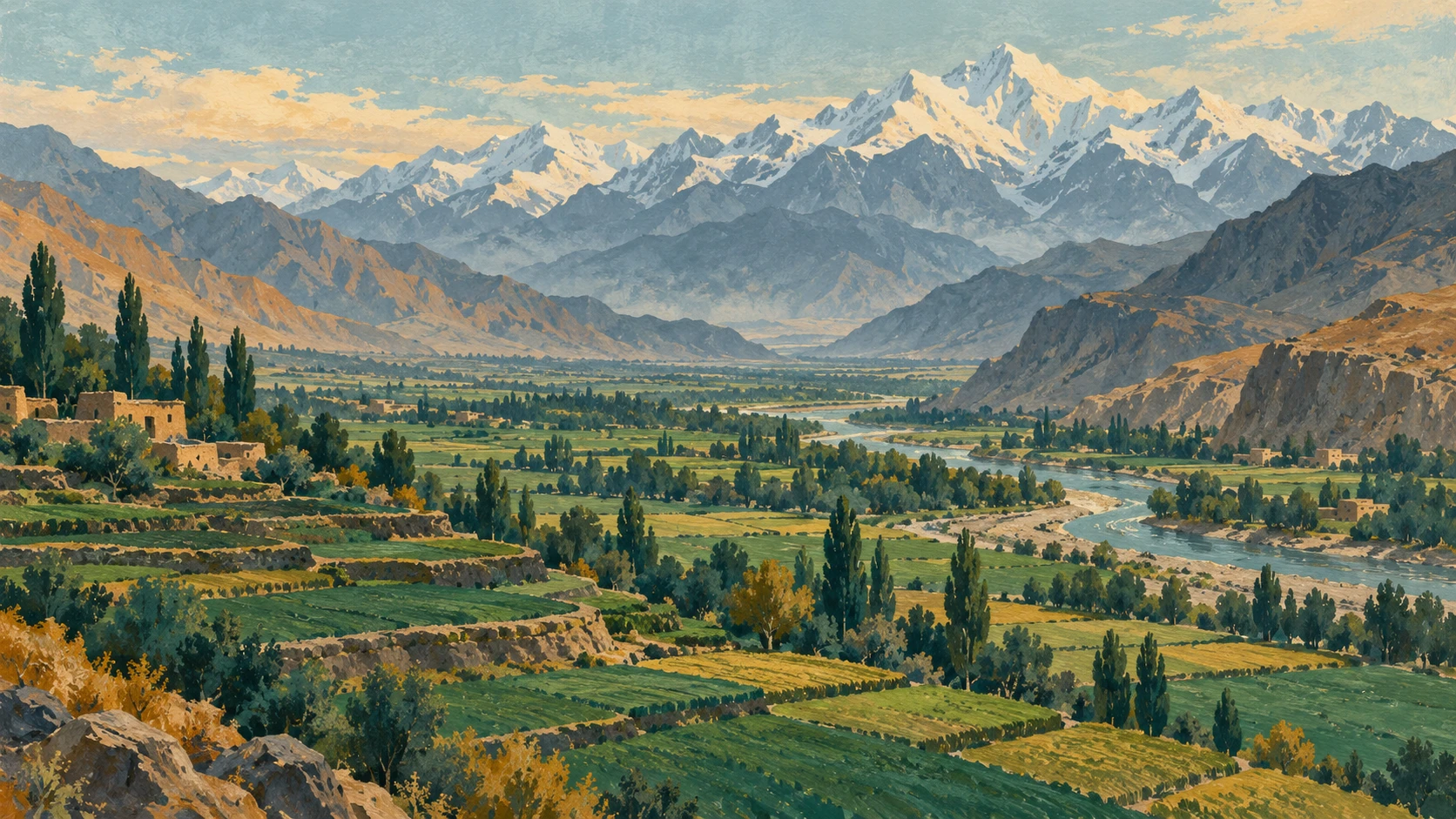
Growing Wheat and Valley Fruits
Crop calendars show seasonal rows for important grains and crops.
Farmers start winter wheat planting during October and November in valley fields.
In high mountain areas, spring wheat cultivation begins between March and April.
The summer harvest for winter wheat peaks between May and July.
Horticultural orchards produce sweet pomegranate and almond crops across the region.
The calendar helps farmers differentiate irrigated fields from dry rainfed land vulnerable to dry weather.

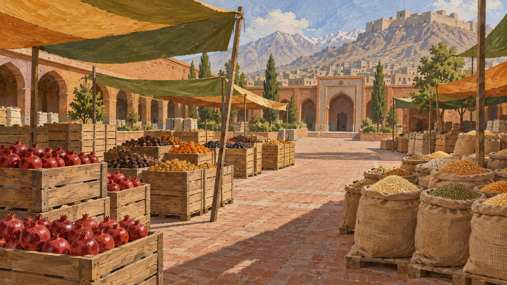
Food Bazaars in Kabul
Kabul wholesale food markets are central distribution hubs for fresh produce.
Staff members record weekly retail prices in major commercial bazaars.
Families buy bags of wheat flour, white rice, and cooking oil every month.
Sacks of grain arrive from farming districts throughout the year.
Market prices show fluctuations when harvest surges change or trucks face delays.
Food price bulletins track currency exchange variations that affect imported goods.
Trucks on Mountain Roads
Highway corridors connect farming areas in Parwan and Kunduz to Kabul.
Large freight trucks transport heavy wheat grain and fresh produce along arterial road networks.
High mountain passes like the Salang corridor sometimes close during winter weather.
Rough feeder roads between villages cause delays and fruit losses during transit.
Drivers pay shipping charges that change with fuel prices and road tolls.
Valley farmers work with local transport brokerages to move their harvests to market.
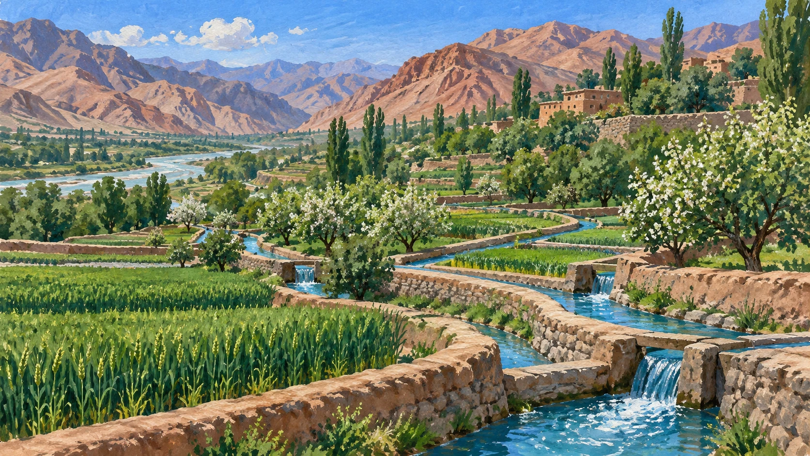
Canals and Village Water
Traditional gravity-fed canal systems bring river water into valley fields.
A village water master called the mirab organizes water rotations and channel maintenance.
Hired laborers work in the fields to pull weeds and gather crops.
Many farmers work under sharecropping arrangements with landowners alongside daily cash wages.
Farming households also contribute family labor during planting and harvest times.
Melting mountain snowpacks provide essential summer water for crops.
Food for Afghan Families
Bazaar surveys show how wholesale grain volumes and trade transactions vary between cities.
Daily food consumption and healthy family diets depend on seasonal crops.
Household purchasing power and daily wages shape what families can buy in shops.
Nutrition surveys monitor children during difficult months before the summer harvest.
Field surveys of bazaar trade and farm wages provide direct information on household living standards.
Food security reports combine satellite monitoring with local market data.
A2 · Elementary
Seasonal Farming and Market Life in Afghanistan
Farmers follow annual seasons to grow wheat and orchard fruit while traders transport supplies to city bazaars.
Satellite Maps and Farming Valleys
The Kabul Agriculture Information Portal provides digital agricultural mapping tools for planners across Afghanistan.
Regional mountain institutes and national ministries worked together to build this environmental portal.
The system combines satellite imagery with precipitation estimates to evaluate water across rural provinces.
Detailed datasets catalog agricultural land use along major river basins and irrigated valley corridors.
Agronomists evaluate vegetative indices to monitor green crop density throughout the growing season.
The digital interface maintains documented reference dates and clear boundaries for all displayed maps.
The Annual Seasons of Wheat and Orchards
Crop calendars show standardized seasonal rows for essential cereal grains and horticultural crops.
Winter wheat planting begins during October and November across irrigated valley fields.
Farmers in cold mountain provinces start spring wheat cultivation between March and April.
The summer harvesting period for winter wheat reaches its peak between May and July.
Horticultural calendar rows guide pruning and harvesting for pomegranate and almond orchards.
The seasonal charts differentiate irrigated crops from rainfed fields vulnerable to dry weather.
City Wholesale Bazaars and Daily Prices
Kabul wholesale food markets serve as central storage and primary urban distribution hubs for provincial produce.
Field price monitoring tracks weekly retail and wholesale prices in major commercial bazaars.
Household income shapes family purchases of wheat flour, rice, and cooking oil as essential staple commodities.
Wholesale grain transactions reflect seasonal harvest volumes arriving from regional farming districts.
Urban produce bazaars experience price fluctuations during harvest surges or road delays.
Food price records document currency exchange variations that influence imported grocery costs.
Highway Corridors and Mountain Passes
Highway transport corridors connect agricultural zones in Parwan, Kunduz, and Nangarhar with Kabul.
Heavy freight trucks move bulk wheat grain and fresh produce along arterial road networks.
High mountain passes, including the Salang corridor, face winter closures when snowstorms arrive.
Rough rural feeder roads between distant farms cause travel delays and fruit bruising.
Trucking charges change frequently when regional fuel prices, road tolls, or route safety vary.
Local food logistics rely on informal transport brokerages that connect farmers with city merchants.
Traditional Canals and Village Water Masters
Traditional gravity-fed canal systems support field irrigation to water crops across valley basins.
The village community appoints a mirab to coordinate water turns and seasonal canal maintenance.
Every hired agricultural worker earns daily cash wages during busy periods of weeding and wheat harvesting.
Many rural families participate in sharecropping arrangements alongside paid daily labor.
Farm households provide substantial unpaid family labor to finish planting before winter rains.
Summer water availability depends heavily on snow melting from high mountain peaks.
Bazaar Surveys and Household Diets
Bazaar surveys record how wholesale grain volumes and trade transactions vary between provinces.
Family food consumption and dietary diversity improve when seasonal fruits and vegetables are plentiful.
Household purchasing power, daily wages, and debt burdens determine what food families can afford.
Nutrition surveys monitor child health and calorie intake during lean seasons before harvest.
Direct field surveys of bazaar transactions provide clear evidence about household economic conditions.
Comprehensive food security assessments combine climate monitoring data with verified market commodity prices.
B1 · Intermediate
Agrarian Calendars and Food Supply Networks in Afghanistan
Seasonal crop cycles, mountain hydrology, and road transport determine staple food availability and market prices across Afghan provinces.
Digital Environmental Monitoring and River Basins
The Kabul Agriculture Information Portal provides digital agricultural mapping and spatial environmental monitoring resources for Afghanistan.
Technical collaboration between regional mountain institutes and national ministries established the online spatial platform.
Digital mapping layers establish an environmental baseline by integrating satellite imagery, precipitation estimates, and land-cover classification data.
Comprehensive datasets catalog agricultural land use across major river basins and irrigated valley corridors.
Agronomists evaluate vegetative indices to monitor seasonal canopy vigor and vegetation density throughout the farming year.
The portal interface maintains documented reference dates and spatial resolution boundaries for all displayed maps.
Seasonal Planting Schedules Across Elevation Zones
Crop calendars published through the portal define standardized seasonal rows for cereal and horticultural crops.
Winter wheat planting schedules span October and November across irrigated valleys of central and northern Afghanistan.
Spring wheat cultivation commences between March and April in higher-altitude plateau and mountain regions.
Harvesting periods for irrigated winter wheat peak between May and July depending upon provincial elevation.
Horticultural calendar rows establish seasonal pruning, flowering, and harvesting cycles for pomegranate and almond orchards.
Agricultural calendar matrices differentiate irrigated crops from rainfed cultivation vulnerable to seasonal moisture deficits and uncertain rainfall.
Urban Grain Bazaars and Commodity Price Bulletins
Kabul wholesale food markets serve as primary urban distribution hubs for regional cereal and produce shipment arrivals.
Field price monitoring tracks weekly retail and wholesale prices monitored across major commercial food bazaars in Kabul.
Wheat flour, rice, and cooking oil represent core staple commodities tracked in urban food price bulletins.
Wholesale grain transactions in Kabul reflect seasonal supply volumes arriving from regional farming districts.
Urban produce markets experience price fluctuations corresponding to seasonal harvest surges and transport bottlenecks.
Food price monitoring records document currency exchange variations influencing imported staple food costs in Kabul.
Freight Transit and Highway Pass Logistics
Highway transport corridors link agricultural production zones in Parwan, Kunduz, and Nangarhar to Kabul markets.
Regional freight trucks transport bulk wheat grain and fresh horticultural produce along an arterial road network.
Mountain highway passes, including the Salang corridor, experience seasonal weather closures affecting freight transport.
Rural farm-to-market feeder roads exhibit variable conditions that increase post-harvest transit losses.
Freight shipping charges fluctuate in response to regional fuel costs, road tolls, and transit security conditions.
Commercial food logistics rely on informal regional transport brokerage services linking valley producers with wholesale merchants.
Community Irrigation Canals and Snowmelt Runoff
Traditional gravity-fed canal systems divert river runoff through stone diversion channels to sustain intensive cereal cultivation in valley basins.
Mirab community water masters coordinate local irrigation rotations and seasonal canal maintenance across farming villages.
Seasonal wage laborers participate in intensive manual weeding, wheat harvesting, and horticultural crop picking.
Rural agrarian tenure arrangements often incorporate sharecropping agreements alongside daily cash wage compensation.
Farm households contribute substantial unpaid family labor during peak planting and harvest periods.
Water availability from melting mountain snowpacks dictates the timing and extent of summer crop irrigation.
Bazaar Transactions and Household Food Access
Bazaar surveys record how wholesale grain volumes and trade transactions vary across provincial market centers.
Household food consumption and dietary diversity depend directly on seasonal fruit, vegetable, and grain supplies.
Household purchasing power, daily wages, and essential food expenditure burdens determine family access to commercial wheat flour and cooking oil.
Nutrition surveys monitor localized vulnerability and child dietary intake during the pre-harvest lean season.
Field surveys of bazaar transactions and daily agricultural wages provide direct evidence of household economic conditions.
Comprehensive food security assessments combine climate monitoring data with verified market commodity prices and household surveys.
B2 · Upper Intermediate
Agro-Ecological Phenology, Transport Topography, and Food Markets in Afghanistan
From high-altitude snowmelt and traditional canal governance to mountain pass logistics, cereal production and wholesale price formation interact across Afghan valleys.
Spatial Agricultural Databases and Watershed Mapping
The Kabul Agriculture Information Portal operates as an analytical repository integrating spatial environmental data across Afghan river basins.
Formed through technical collaboration between regional mountain institutes and national ministries, the portal provides digital mapping resources.
Multi-temporal satellite imagery, precipitation estimates, and land-cover classification algorithms generate comprehensive agricultural maps.
Spatial datasets catalog agricultural land use, irrigation infrastructure, and alluvial river corridors throughout the country.
Agronomists evaluate vegetative indices to determine canopy vigor, seasonal vegetation density, and agronomic crop development trajectories.
The interface maintains documented reference dates and spatial resolution boundaries for all displayed maps and geographic layers.
Phenological Cycles and Moisture Regimes in Afghan Valleys
Crop calendars published through the portal define standardized seasonal rows for major cereal and horticultural crops.
Winter wheat planting schedules span October and November across irrigated valleys of central and northern Afghanistan.
Spring wheat cultivation commences between March and April in higher-altitude plateau and mountain regions.
Harvesting periods for irrigated winter wheat peak between May and July depending upon provincial elevation and temperature gradients.
Horticultural calendar rows establish seasonal pruning, flowering, and harvesting cycles for pomegranate and almond orchards.
Agricultural calendar matrices differentiate irrigated crops from rainfed cultivation vulnerable to seasonal moisture deficits and precipitation variability.
Wholesale Price Formation and Urban Staple Distribution
Kabul wholesale food markets serve as primary urban distribution hubs for regional cereal and produce shipments arriving from provincial valleys.
Field price monitoring tracks weekly retail and wholesale prices across major commercial food bazaars in Kabul.
Wheat flour, rice, and cooking oil represent core staple commodities tracked in urban food price bulletins to assess household caloric sustenance.
Wholesale grain transactions in Kabul reflect seasonal supply volumes arriving from regional farming districts.
Urban produce markets experience price volatility corresponding to seasonal harvest surges and transport bottlenecks.
Food price monitoring records document currency exchange variations influencing imported staple food costs in Kabul.
Arterial Transport Corridors and Post-Harvest Freight Logistics
Highway transport corridors link agricultural production zones in Parwan, Kunduz, and Nangarhar to Kabul wholesale markets.
Regional freight trucks transport bulk wheat grain and fresh horticultural produce along arterial road networks.
Mountain highway passes, including the Salang corridor, experience seasonal weather closures affecting freight transport and commodity deliveries.
Rural farm-to-market feeder roads exhibit variable conditions that increase post-harvest transit losses for perishable fruit.
Freight shipping charges and logistics expenditures fluctuate in response to regional fuel costs, road tolls, and transit security conditions.
Commercial food logistics rely on informal regional transport brokerages linking valley producers with wholesale merchants.
Customary Water Rights and Gravity-Fed Canal Networks
Traditional gravity-fed canal systems divert river runoff near each mountain stream confluence to sustain intensive cereal cultivation.
Mirab community water masters coordinate local irrigation rotations and seasonal canal maintenance across farming villages.
Seasonal wage laborers participate in intensive manual weeding, wheat harvesting, and horticultural crop picking.
Rural agricultural labor arrangements often incorporate sharecropping agreements alongside daily cash wage remuneration.
Farm households contribute substantial unpaid family labor during peak planting and harvest periods.
Water availability from melting mountain snowpacks dictates the timing, extent, and hydrological cycle of summer crop irrigation.
Market Integration, Household Budgets, and Nutritional Resilience
Bazaar surveys record how wholesale grain volumes and trade transactions vary across provincial market centers.
Household food consumption and dietary diversity depend directly on seasonal fruit, vegetable, and grain supplies.
Household purchasing power, daily wages, and debt burdens determine family access to commercial wheat flour and cooking oil.
Nutrition surveys monitor localized vulnerability and child dietary intake during the pre-harvest lean season.
Field surveys of bazaar transactions and daily agricultural wages provide direct evidence of household economic conditions.
Comprehensive food security assessments combine climate monitoring data with verified market commodity prices and household surveys.
C1 · Advanced
Agrarian Phenology, Alpine Logistics, and Commodity Price Transmission in Afghanistan
Remote sensing telemetry, seasonal planting calendars, and wholesale market price surveys reveal the structural dynamics of Afghan food supply systems.
Spatial Telemetry and Valley Agronomy in Digital Portals
The Kabul Agriculture Information Portal provides digital agricultural mapping and spatial environmental monitoring resources for Afghanistan.
Through sustained technical collaboration between regional mountain institutes and national ministries, the platform coordinates provincial telemetry.
Digital mapping layers integrate satellite imagery, precipitation estimates, and land-cover classification data into operational cartographic models.
Portal datasets catalog agricultural land use across major river basins and irrigated valley corridors throughout the eastern and northern provinces.
Web-based portal tools allow agronomists to evaluate regional vegetative indices and seasonal vegetation density across disparate farming systems.
The portal interface maintains documented reference dates and spatial resolution boundaries for all displayed maps and analytical projections.
Cereal Calendars and Horticultural Phenology Across Altitude Belts
Crop calendars published through the portal define standardized seasonal rows for major cereal and horticultural crops across diverse agro-climatic zones.
Winter wheat planting schedules span October and November across irrigated valleys of central and northern Afghanistan.
Spring wheat cultivation commences between March and April in higher-altitude plateau and mountain regions where cold conditions delay sowing.
Harvesting periods for irrigated winter wheat peak between May and July depending upon provincial elevation and thermal accumulation.
Horticultural calendar rows establish seasonal pruning, flowering, and harvesting cycles for pomegranate and almond orchards.
Agricultural calendar matrices differentiate irrigated crops from rainfed cultivation vulnerable to seasonal moisture deficits and drought stress.
Wholesale Price Dynamics and Currency Transmission in Kabul Bazaars
Kabul wholesale food markets serve as primary urban distribution hubs for regional cereal and produce shipments arriving from peripheral valleys.
Field price monitoring tracks weekly retail and wholesale prices across major commercial food bazaars in Kabul.
Wheat flour, rice, and cooking oil represent core staple commodities tracked in urban food price bulletins to gauge household expenditure pressures.
Wholesale grain transactions in Kabul reflect seasonal supply volumes arriving from regional farming districts during peak post-harvest inflows.
Urban produce markets experience price fluctuations corresponding to seasonal harvest surges and transport bottlenecks.
Food price monitoring records document currency exchange variations influencing imported staple food costs in Kabul commercial retail bazaars.
Highway Logistics, Alpine Chokepoints, and Freight Intermediation
Highway transport corridors link agricultural production zones in Parwan, Kunduz, and Nangarhar to Kabul terminal markets.
Regional freight trucks transport bulk wheat grain and fresh horticultural produce along arterial road networks under variable operating conditions.
Mountain highway passes, including the Salang corridor, experience seasonal weather closures affecting freight transport and commodity flow reliability.
Rural farm-to-market feeder roads exhibit variable conditions that increase post-harvest transit losses for delicate deciduous fruits.
Freight shipping charges fluctuate in response to regional fuel costs, road tolls, and transit security conditions along transit highways.
Commercial food logistics rely on informal regional transport brokerages linking valley producers with wholesale merchants across major cities.
Customary Hydrological Governance and Agrarian Labor Contracts
Traditional gravity-fed canal systems divert river runoff to sustain intensive cereal cultivation in valley basins through communal diversion weirs.
Mirab community water masters coordinate local irrigation rotations and seasonal canal maintenance across farming villages under customary water tenure.
Seasonal wage laborers participate in intensive manual weeding, wheat harvesting, and horticultural crop picking during tight seasonal windows.
Rural agricultural labor arrangements often incorporate sharecropping agreements alongside daily cash wage compensation.
Farm households contribute substantial unpaid family labor during peak planting and harvest periods to offset cash expenditure requirements.
Water availability from melting mountain snowpacks dictates the timing and extent of summer crop irrigation across central river systems.
Empirical Market Surveys and Household Caloric Security
Bazaar surveys record how wholesale grain volumes and trade transactions vary across provincial market centers and urban commercial districts.
Household food consumption and dietary diversity depend directly on seasonal fruit, vegetable, and grain supplies in local markets.
Household purchasing power, daily wages, and debt burdens determine family access to commercial wheat flour and cooking oil across seasons.
Nutrition surveys monitor localized vulnerability, household nutritional status, and child dietary intake during the pre-harvest lean season when granaries are depleted.
Field surveys of bazaar transactions and daily agricultural wages provide direct evidence of household economic conditions and living standards.
Comprehensive food security assessments combine climate monitoring data with verified market commodity prices and household surveys.
C2 · Mastery
Geospatial Agronomy, Riparian Governance, and Market Integration in Afghan Food Systems
Agro-ecological stratification, customary water tenure, alpine transit friction, and microeconomic purchasing power govern cereal supply chains across Afghanistan.
Geospatial Surveillance and Agrarian Cartography Across Watersheds
The Kabul Agriculture Information Portal operates as a digital mapping infrastructure supporting agricultural cartography and spatial environmental monitoring across Afghanistan.
Developed through sustained technical collaboration between regional mountain institutes and national ministries, the portal coordinates environmental telemetry.
Sophisticated multi-spectral satellite imagery, precipitation estimates, and land-cover classification models generate fine-grained cartographic baselines.
Spatial datasets catalog agricultural land use across major river basins and irrigated valley corridors spanning central and northern hydrological networks.
Web-based analytical tools allow agronomists to evaluate regional vegetative indices, radiometric reflectance, and seasonal canopy density across disparate agro-climatic zones.
The portal interface maintains documented reference dates and spatial resolution boundaries for all displayed maps and cartographic overlays.
Agro-Ecological Stratification and Dual-Season Cereal Phenology
Crop calendars published through the portal establish standardized seasonal rows for major cereal and horticultural crops according to their phenological stages across varied agro-ecological zones.
Winter wheat planting schedules span October and November across irrigated valleys of central and northern Afghanistan under dual-season cropping systems.
Spring wheat cultivation commences between March and April in higher-altitude plateau and mountain regions subject to extended winter dormancy.
Harvesting periods for irrigated winter wheat peak between May and July depending upon provincial elevation, thermal accumulation, and watershed topography.
Horticultural calendar rows establish seasonal pruning, flowering, and harvesting cycles for pomegranate and almond orchards across the southern and northern basins.
Agricultural calendar matrices differentiate irrigated crops from rainfed cultivation vulnerable to seasonal moisture deficits and chronic rainfall volatility.
Urban Wholesale Arbitrage and Staple Commodity Volatility
Kabul wholesale food markets serve as primary urban distribution hubs for regional cereal and produce shipments, facilitating regional spatial arbitrage.
Field price monitoring tracks weekly retail and wholesale prices across major commercial food bazaars in Kabul to measure market integration.
Wheat flour, rice, and cooking oil represent core staple commodities tracked in urban food price bulletins to assess household expenditure shocks.
Wholesale grain transactions in Kabul reflect seasonal supply volumes arriving from regional farming districts as post-harvest arrivals compress retail margins.
Urban produce markets experience price fluctuations corresponding to seasonal harvest surges and transport bottlenecks across mountain passes.
Food price monitoring records document currency exchange variations influencing imported staple food costs and flour import parity in Kabul wholesale bazaars.
Alpine Transit Corridors, Toll Regimes, and Asymmetric Supply Logistics
Arterial highway transport corridors link agricultural production zones in Parwan, Kunduz, and Nangarhar to Kabul terminal consumption centers.
Regional freight trucks transport bulk wheat grain and fresh horticultural produce along arterial road networks fraught with topographic friction.
Mountain highway passes, including the Salang corridor, act as critical alpine chokepoints where seasonal weather closures affect freight transport and induce urban supply bottlenecks.
Rural farm-to-market feeder roads exhibit variable conditions that increase post-harvest transit losses for fragile horticultural produce.
Freight shipping charges fluctuate in response to regional fuel costs, road tolls, and transit security conditions across alpine crossing corridors.
Commercial food logistics rely on informal regional transport brokerages linking valley producers with wholesale merchants across provincial capitals.
Customary Riparian Tenure and Agrarian Remuneration Structures
Traditional gravity-fed canal systems divert river runoff to sustain intensive cereal cultivation in valley basins, reinforcing community resilience against drought through stone diversion weirs.
Mirab community water masters coordinate local irrigation rotations and seasonal canal maintenance across farming villages under customary riparian tenure.
Seasonal wage laborers participate in intensive manual weeding, wheat harvesting, and horticultural crop picking during compressed harvest windows.
Rural agricultural labor arrangements often incorporate sharecropping agreements alongside daily cash wage compensation to mitigate production risks.
Farm households contribute substantial unpaid family labor during peak planting and harvest periods to preserve cash liquidity.
Water availability from melting mountain snowpacks dictates the timing and extent of summer crop irrigation across arid inter-montane plains.
Microeconomic Purchasing Power, Debt Liabilities, and Nutritional Vulnerability
Bazaar surveys record how wholesale grain volumes and trade transactions vary across provincial market centers and remote agrarian enclaves.
Household food consumption and dietary diversity depend directly on seasonal fruit, vegetable, and caloric grain supplies across regional marketplaces.
Household purchasing power, daily wages, and debt burdens determine family access to commercial wheat flour and cooking oil in urban neighborhoods.
Nutrition surveys monitor localized vulnerability and child dietary intake during the pre-harvest lean season when rural granaries are exhausted.
Field surveys of bazaar transactions and daily agricultural wages provide direct evidence of household economic conditions and real disposable income.
Comprehensive food security assessments combine climate monitoring data with verified market commodity prices and microeconomic household surveys.
Check your understanding
Choose how closely you want to revisit the article. You can refer back while answering, and review explanations when you finish.
Quick Quiz A1
Try one question, then create a free account for the full Quick Quiz. Sign Up Free
Answer every question before checking. There is no time limit.
Your results
/ 1 correct (%)
Read the explanations to see how each answer connects to the article.
-
What does the Kabul agricultural portal provide for Afghanistan?
1. Answer:
Quick Quiz A2
Try one question, then create a free account for the full Quick Quiz. Sign Up Free
Answer every question before checking. There is no time limit.
Your results
/ 1 correct (%)
Read the explanations to see how each answer connects to the article.
-
What tools does the Kabul Agriculture Information Portal provide for planners?
1. Answer:
Quick Quiz B1
Try one question, then create a free account for the full Quick Quiz. Sign Up Free
Answer every question before checking. There is no time limit.
Your results
/ 1 correct (%)
Read the explanations to see how each answer connects to the article.
-
What core technical resources does the Kabul Agriculture Information Portal provide?
1. Answer:
Quick Quiz B2
Try one question, then create a free account for the full Quick Quiz. Sign Up Free
Answer every question before checking. There is no time limit.
Your results
/ 1 correct (%)
Read the explanations to see how each answer connects to the article.
-
What primary analytical function does the Kabul Agriculture Information Portal perform?
1. Answer:
Quick Quiz C1
Try one question, then create a free account for the full Quick Quiz. Sign Up Free
Answer every question before checking. There is no time limit.
Your results
/ 1 correct (%)
Read the explanations to see how each answer connects to the article.
-
What core spatial assets does the Kabul Agriculture Information Portal provide?
1. Answer:
Quick Quiz C2
Try one question, then create a free account for the full Quick Quiz. Sign Up Free
Answer every question before checking. There is no time limit.
Your results
/ 1 correct (%)
Read the explanations to see how each answer connects to the article.
-
What operational role does the Kabul Agriculture Information Portal fulfill in Afghan agrarian surveillance?
1. Answer:
