A1 · Beginner
Desert Roads, Village Clinics, and Schools in Nimroz
People in desert villages travel on dirt roads. They go to small clinics and schools in the southwest.
Desert Terrain and Rural District Geography
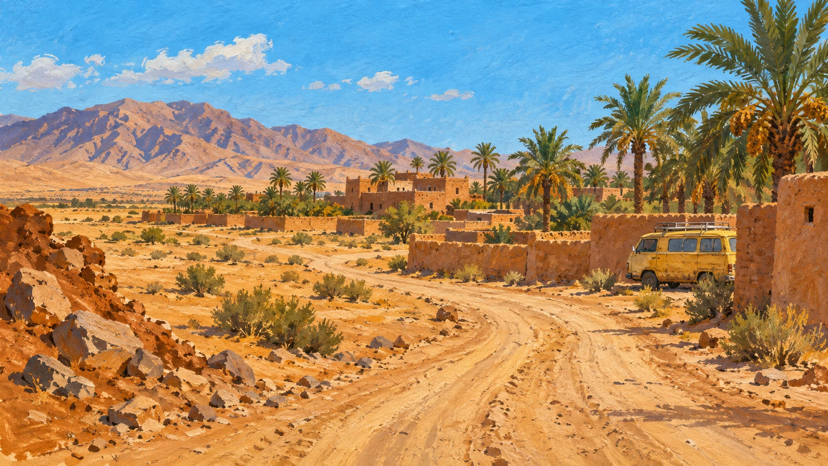
Nimroz is a large desert province in the southwest of Afghanistan. The land covers forty-one thousand square kilometers of arid plains along international borders.
Pajhwok news reports that Chahar Burjak and Khashrod have acute gaps in roads and water. Rural villages sit between moving sand dunes and hard clay flats.
Summer is hot and reaches forty-five degrees Celsius with strong seasonal wind storms. People in small settlements must travel far to Zaranj for basic household supplies. Resident accounts show that travel is very difficult across the southwestern area.
Unpaved Feeder Roads and Transit Hazards
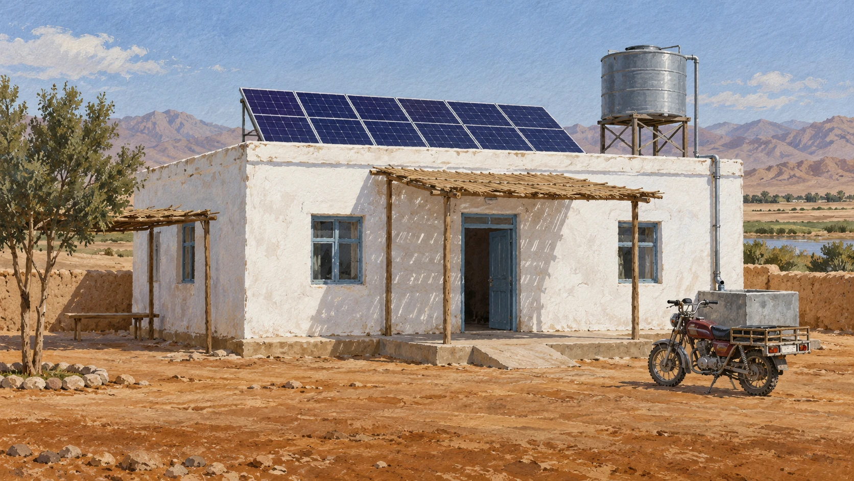
Most tracks between small villages and district centers are loose sand and gravel. Over eighty-five percent of tertiary feeder roads have no stone base.
Flash floods in dry riverbeds wash away dirt embankments and stop cars for days. Drifting sand dunes cover tracks and force drivers onto unmarked desert paths.
A trip of thirty kilometers to district bazaars takes three to four hours in pickup trucks. Missing culverts and broken drainage spots receive no regular maintenance from local crews.
Rural Health Clinics and Emergency Journeys
Sick villagers travel dozens of kilometers over rough ground to find a basic health center. Rural clinics have very little diagnostic equipment and run out of essential pharmaceutical medicines.
Health posts in Khashrod face big shortages of female doctors and trained midwives. Expectant mothers need emergency obstetric care but face long transit delays on rough tracks.
Mobile health teams bring periodic immunization shots and prenatal visits to villages. Public health reviews show the region needs records to track delayed medical referral mortality.

Primary School Distances and Seasonal Heat
Young children walk between four and eight kilometers across open desert to attend primary school. Scorching heat and dust storms cause dehydration and high seasonal school absenteeism.
Many rural schools in Chahar Burjak have no permanent buildings. Classes meet inside open courtyards or tents without boundary walls, functioning latrines, or clean drinking water.
The lack of nearby secondary schools causes heavy dropout after primary grades. Village elders want satellite classroom units built close to their homes.
Household Transport Costs and Shared Vehicles
Poor families spend much of their monthly income on motorcycle fuel and pickup fares. Rough desert driving causes tire blowouts, broken suspension springs, and high vehicle maintenance costs.
Local traders sell bottled petrol and diesel at high prices above capital rates. Families coordinate communal vehicle rentals to move sick relatives or agricultural crops together.
Two-wheeled motorcycles are the primary transport for sixty percent of rural families. Heavy emergency transport costs push poor households into debt with village lenders.
Community Mutual Aid and Infrastructure Tracking
Village shuras organize volunteer teams to shovel sand and repair storm washouts on roads. People use an old collective work custom called ashar for shared repairs.
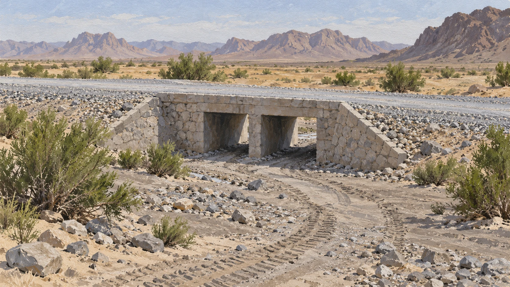
District development plans identify stone culvert building and gravel work as top priorities. International aid groups pay cash-for-work wages to fix road bridges and culverts.
Experts urge national authorities to send dedicated maintenance funds to borderland provinces. Baseline tracking of travel times and clinic distances helps future rural planning.
A2 · Elementary
Daily Travel, Health Clinics, and School Journeys in Rural Nimroz
People in desert villages take long trips on dirt roads to visit local doctors, send children to class, and buy food in town.
Desert Terrain and Rural District Geography
Nimroz Province spans forty-one thousand square kilometers of arid desert plains in southwestern Afghanistan. The province shares long international borders with neighboring states, and settlements are scattered far apart.
Journalists from Pajhwok report that Chahar Burjak and Khashrod face acute infrastructure gaps that limit daily life. Small rural villages are separated by vast stretches of moving sand dunes and dry clay flats.
Summer temperatures frequently rise above forty-five degrees Celsius, and seasonal wind storms blow across the desert for four months. Because local shops have few goods, villagers travel long distances to commercial hubs in Zaranj for basic household supplies. Resident accounts show that travel constraints affect families across the southwestern region every day.
Unpaved Feeder Roads and Transit Hazards
Secondary tracks connecting rural villages to district centers consist entirely of loose sand and rough gravel. More than eighty-five percent of tertiary feeder roads in the province remain completely unpaved without stone base stabilization.
Seasonal flash floods in dry riverbeds wash away soft dirt embankments, cutting vehicular access for days at a time. Strong winds push drifting sand dunes across roads, forcing drivers to find unmarked desert detours.
Traveling thirty kilometers to district bazaars often takes three to four hours in old passenger pickup trucks. Road surveys show that missing culverts and eroded drainage crossings remain unaddressed by regional maintenance teams.
Rural Health Clinics and Emergency Journeys
When family members fall ill, residents must travel dozens of kilometers over rough terrain to reach the nearest basic health center. Rural clinics operate with limited diagnostic equipment and experience frequent shortages of essential pharmaceutical medicines.
Small clinics in Khashrod face a persistent shortage of female doctors and trained midwives. Expectant mothers who need emergency obstetric care face dangerous transit delays over unpaved desert tracks.
Humanitarian mobile health teams visit remote areas to provide immunization and prenatal checks, but they cannot offer continuous emergency coverage. Public health reviews stress that local clinics need provincial records to monitor delayed referral mortality.
Primary School Distances and Seasonal Heat
Children in desert villages walk between four and eight kilometers each morning to attend primary school. Scorching summer heat and intense dust storms cause severe dehydration and lead to seasonal school absenteeism.
Many rural schools in Chahar Burjak do not have permanent buildings, so students gather in open courtyards or under simple tents. Most of these schools lack protective boundary walls, functioning latrines, and clean drinking water.
Because there are no secondary schools near remote villages, students experience high dropout rates after finishing primary grades. Village elders advocate for satellite classroom models so young children can study near their homesteads.
Household Transport Costs and Shared Vehicles
Rural households spend a disproportionate share of their monthly income on motorcycle fuel and private pickup fares. Driving on harsh desert tracks causes frequent tire blowouts, broken suspension springs, and high vehicle repair bills.
Local village traders sell bottled petrol and diesel at prices much higher than rates in the provincial capital. When a family member is very sick or farmers must move crops, neighbors arrange communal vehicle rentals to share the cost.
Two-wheeled motorcycles serve as the main mode of personal transport for over sixty percent of rural families. High emergency transport expenses often force low-income households into debt with village moneylenders.
Community Mutual Aid and Infrastructure Tracking
Village shuras organize informal volunteer work crews to shovel sand and fill dangerous road washouts after heavy storms. Communities rely on a traditional collective practice known as ashar to complete urgent infrastructure repairs.
Local district development plans identify stone culvert installation and gravel surfacing as urgent public works priorities. International agencies provide funding for cash-for-work projects that rehabilitate tertiary road culverts and small irrigation bridges.
Policy experts urge government leaders to allocate dedicated maintenance funds to remote borderland provinces. Systematic baseline tracking of travel times and clinic distances gives planners reliable empirical evidence for future road projects.
B1 · Intermediate
Traveling Across the Desert: Roads, Health Centers, and Schools in Rural Nimroz
A regional look at how families in Chahar Burjak and Khashrod travel across rough sands to reach basic clinics and local village schools.
Desert Terrain and Rural District Geography
Nimroz Province lies in the far southwestern corner of Afghanistan, covering over forty-one thousand square kilometers of arid desert plains along international borders with Iran and Pakistan. The rural landscape is defined by wide expanses of open sand and dramatic seasonal weather.
Detailed field reporting by Pajhwok highlights that Chahar Burjak and Khashrod districts experience acute infrastructure gaps that isolate outlying settlements. Between these small rural villages stretch shifting sand dunes and vast dry clay flats, making even short trips demanding.
During the summer months, temperatures regularly exceed forty-five degrees Celsius while seasonal 120-day wind storms sweep dust across the landscape. Dispersed rural settlements rely on distant commercial hubs in Zaranj for basic household supplies, and local resident accounts confirm severe daily mobility challenges.
Unpaved Feeder Roads and Transit Hazards
Secondary desert tracks that link outlying villages to district administrative centers are composed mostly of uncompacted sand and loose gravel. Field assessments indicate that over eighty-five percent of tertiary feeder roads across Nimroz lack macadam or stone base stabilization.
Whenever sudden seasonal flash floods rush through dry riverbeds, dirt embankments wash away within hours and sever vehicular access for several days. Constant wind movement shifts sand dunes over tracks, requiring pickup drivers to navigate unmarked desert detours without warning.
A journey of only thirty kilometers to district bazaars often demands three to four hours in crowded passenger pickup trucks. Structural neglect means that missing culverts and severely eroded drainage crossings remain unaddressed by regional maintenance authorities.
Rural Health Clinics and Emergency Journeys
Accessing clinical care presents a constant struggle for remote communities, as residents travel dozens of kilometers across rough desert terrain to find the nearest basic health center. Rural health clinics function with very limited diagnostic equipment and endure frequent shortages of essential pharmaceutical medicines.
In Khashrod, basic health posts confront an enduring deficit of qualified female doctors and professional midwives. Expectant mothers requiring emergency obstetric care face perilous transit delays over unpaved desert tracks, increasing childbirth risks significantly.
Humanitarian mobile health teams deliver periodic immunization campaigns and prenatal checkups, but they cannot maintain continuous emergency coverage. Public health specialists insist that provincial administrations must record delayed referral mortality to address systemic clinical gaps.
Primary School Distances and Seasonal Heat
Education in rural Nimroz is shaped directly by physical geography, with village children walking between four and eight kilometers across exposed desert terrain to attend primary school. Scorching summer heat and intense dust storms cause severe dehydration, prompting widespread seasonal school absenteeism.
Many rural schools in Chahar Burjak lack permanent physical structures, forcing teachers and children to assemble inside open courtyards or temporary canvas tents. These instructional spaces routinely operate without perimeter boundary walls, functioning latrines, or clean drinking water supplies.
The total absence of secondary schools within reasonable walking distance triggers sharp educational dropout after primary grades. To protect student learning, village elders strongly advocate for decentralized satellite classroom models near scattered family homesteads.
Household Transport Costs and Shared Vehicles
Navigating desert distances imposes a heavy financial strain on rural families, who allocate a disproportionate share of their monthly income to motorcycle fuel and private pickup fares. Treacherous driving conditions cause repeated tire blowouts, fractured suspension springs, and steep vehicle maintenance expenses.
Because formal filling stations are absent in outlying areas, village traders sell bottled petrol and diesel at steep markups above provincial capital rates. To manage these expenses, families organize communal vehicle rentals when transporting agricultural produce or evacuating sick relatives.
Lightweight two-wheeled motorcycles serve as the principal transit mode for over sixty percent of rural households. When urgent medical crises occur, catastrophic transport expenses push vulnerable families into high-interest debt with local village lenders.
Community Mutual Aid and Infrastructure Tracking
In the absence of municipal road crews, village shuras mobilize informal volunteer labour teams to shovel windblown sand and fill hazardous washouts after storms. Communities frequently draw upon an ancient reciprocal mutual aid tradition known as ashar to repair shared rural tracks collaboratively.
District development plans identify stone culvert construction and gravel surfacing as urgent public works priorities that would prevent annual road destruction. Targeted cash-for-work projects supported by international agencies help rehabilitate vital tertiary road culverts and small irrigation bridges.
Policy analysts argue that national ministries must allocate dedicated infrastructure maintenance funds to vulnerable borderland provinces. Systematic baseline tracking of travel times and clinic distances provides the empirical evidence needed to guide future transport investments.
B2 · Upper Intermediate
Desert Roads, Clinic Access, and School Distances: Daily Transit Challenges in Rural Nimroz
An analytical study of how unpaved desert tracks affect healthcare access, primary education, and household transport budgets in Chahar Burjak and Khashrod.
Desert Terrain and Rural District Geography
Covering over forty-one thousand square kilometers along southwestern international borders, Nimroz Province represents one of the most ecologically demanding jurisdictions in Afghanistan. The geographic terrain is characterized by expansive arid plains, extensive salt flats, and hyper-arid microclimates that complicate rural transport.
Comprehensive field reporting by Pajhwok confirms that peripheral districts such as Chahar Burjak and Khashrod endure acute infrastructure gaps that undermine basic connectivity. Outlying rural settlements remain separated by vast stretches of moving sand dunes and dry clay flats that degrade vehicular performance.
Climatic pressures intensify during summer periods, when ambient temperatures exceed forty-five degrees Celsius and intense seasonal wind storms generate persistent dust corridors. Dispersed agrarian homesteads depend entirely on distant commercial hubs in Zaranj for essential household supplies, with resident accounts illustrating compounding mobility constraints across the southwestern frontier.
Unpaved Feeder Roads and Transit Hazards
The secondary transit grid connecting isolated villages to district bazaars consists almost exclusively of unpaved sand tracks and loose gravel paths. Engineering surveys document that over eighty-five percent of tertiary feeder roads across Nimroz lack stone base stabilization, rendering them vulnerable to rapid mechanical erosion.
During brief precipitation events, sudden flash floods surging across dry riverbeds wash away uncompacted dirt embankments, completely severing vehicular access for multiple days. Concurrently, powerful desert winds mobilize drifting sand dunes that frequently bury tracks and force drivers into unmarked desert detours.
Consequently, navigating a modest thirty-kilometer distance to district bazaars often consumes three to four hours in commercial pickup trucks. Systematic technical assessments reveal that missing culverts and eroded drainage crossings remain largely unaddressed by regional maintenance authorities.
Rural Health Clinics and Emergency Journeys
Rural healthcare delivery in southwestern Afghanistan reflects profound geographic friction, as ill residents travel dozens of kilometers over rough terrain to access the nearest basic health center. Rural health clinics operate under severe diagnostic equipment deficits and experience frequent stock-outs of essential pharmaceutical medicines.
In Khashrod, frontline basic health posts suffer from a persistent deficit of accredited female doctors and certified midwives. As a result, expectant mothers requiring urgent obstetric care face critical transit delays over unpaved desert tracks, heightening maternal and neonatal mortality hazards.
Although humanitarian mobile health teams provide periodic immunization sweeps and prenatal checkups, their intermittent schedule cannot furnish continuous emergency coverage. Epidemiological analysts emphasize the imperative of maintaining provincial records to systematically track delayed referral mortality.
Primary School Distances and Seasonal Heat
Physical isolation directly constrains human capital formation, as village children walk between four and eight kilometers daily across exposed desert terrain to reach primary school. Scorching summer heat and blinding dust storms induce severe dehydration and drive significant seasonal school absenteeism.
Educational infrastructure across Chahar Burjak is severely compromised, with numerous primary schools lacking permanent structures and conducting classes within open courtyards or deteriorating canvas tents. These instructional facilities routinely operate without protective boundary walls, functioning latrines, or potable drinking water sources.
Because rural districts lack accessible secondary schools, adolescent students encounter dramatic educational dropout and attrition following the completion of primary grades. In response, community elders actively champion satellite classroom models to decentralize basic instruction directly within isolated homesteads.
Household Transport Costs and Shared Vehicles
The structural precarity of rural transit imposes severe budgetary burdens on peripheral households, who expend a disproportionate share of monthly income on motorcycle fuel and private pickup fares. Traversing corrugated desert surfaces causes recurring tire blowouts, sheared suspension springs, and onerous vehicle maintenance costs.
Furthermore, private retail markups in remote settlements allow village traders to sell bottled petrol and diesel at exorbitant premiums relative to provincial capital prices. To mitigate these expenses, extended families coordinate communal vehicle rentals to pool costs when transporting sick relatives or marketing bulk agricultural harvests.
Lightweight two-wheeled motorcycles represent the primary mode of personal transport for upwards of sixty percent of rural families. Under emergency medical conditions, astronomical transport expenditures frequently force asset-poor households into usurious debt contracts with informal village lenders.
Community Mutual Aid and Infrastructure Tracking
To compensate for formal governance absences, village shuras mobilize informal volunteer labour squads to shovel accumulated sand and repair catastrophic road washouts following heavy storms. Rural communities regularly revive the traditional mutual aid institution of ashar to execute communal infrastructure repairs.
Comprehensive district development master plans consistently identify stone culvert installation and crushed gravel surfacing as urgent public works priorities capable of stabilizing rural thoroughfares. Concurrently, targeted cash-for-work projects sponsored by international agencies provide temporary employment to rehabilitate essential tertiary road culverts and irrigation bridges.
Regional policy specialists urge national ministries to institutionalize dedicated infrastructure maintenance allocations for vulnerable borderland provinces. Sustained baseline tracking of transit times and clinical distances provides indispensable empirical evidence for rational rural development planning.
C1 · Advanced
Road Conditions, Clinic Journeys, and School Distances in Nimroz: Rural Mobility in Chahar Burjak and Khashrod
An empirical investigation into rural daily mobility in Nimroz Province, unpaved desert tracks, primary healthcare accessibility, school travel times, and mutual aid coping networks.
Desert Terrain and Rural District Geography
Spanning more than forty-one thousand square kilometers of hyper-arid desert plains along southwestern international borders with Iran and Pakistan, Nimroz Province illustrates the acute developmental challenges facing peripheral Afghanistan. The territorial landscape is characterized by shifting dunes, salt encrustations, and low demographic densities that exacerbate logistics.
Field investigations published by Pajhwok reveal that Chahar Burjak and Khashrod districts endure acute infrastructure gaps that undermine basic socio-economic resilience. Dispersed rural villages remain physically separated by vast expanses of moving sand dunes and dry clay flats that frustrate mechanical transit.
Summer climatic regimes impose severe environmental stress, as ambient temperatures regularly exceed forty-five degrees Celsius in tandem with intense seasonal 120-day wind storms. Outlying settlements rely entirely on distant commercial hubs in Zaranj for basic household supplies, while resident accounts corroborate severe structural travel constraints across the southwestern frontier.
Unpaved Feeder Roads and Transit Hazards
The capillary transit network connecting peripheral hamlets to district administrative centers consists predominantly of unpaved sand tracks and loose river gravel. Authoritative road inventories confirm that over eighty-five percent of tertiary feeder roads throughout Nimroz remain completely unpaved without stone base stabilization, predisposing them to structural failure.
Periodic hydrologic surges across dry riverbeds systematically wash away unreinforced dirt embankments, severing vehicular access for multiple days following minor storms. Concurrently, aeolian drift mobilizes sand dunes that frequently bury tracks, forcing drivers to navigate unmarked desert detours across pathless terrain.
Traversing a modest thirty-kilometer distance to district bazaars routinely requires three to four hours in vintage passenger pickup trucks. Comprehensive access assessments establish that missing culverts and eroded drainage crossings remain unaddressed by regional maintenance authorities.
Rural Health Clinics and Emergency Journeys
Public health access across rural Nimroz demonstrates profound geographic friction, as ill residents report traveling dozens of kilometers over rough terrain to reach the nearest basic health center. Rural primary clinics operate with limited diagnostic equipment and endure frequent shortages of essential pharmaceutical medicines.
Primary healthcare posts in Khashrod face persistent shortages of qualified female doctors and trained midwives, creating acute vulnerabilities for maternal populations. Expectant mothers requiring emergency obstetric care face critical transit delays over unpaved desert tracks, which directly escalates delivery complications.
Although humanitarian mobile health teams conduct periodic immunization sweeps and prenatal checks, they cannot maintain continuous emergency coverage across vast rural spaces. Public health reviews underscore the urgent necessity of establishing systematic provincial records to track delayed medical referral mortality.
Primary School Distances and Seasonal Heat
Educational continuity in the southwestern periphery is severely constrained by spatial distance, as village children walk between four and eight kilometers daily across exposed desert terrain to attend primary school. Scorching summer heat and particulate dust storms cause severe dehydration, precipitating widespread seasonal school absenteeism.
Physical educational facilities across Chahar Burjak are exceptionally precarious, with numerous primary schools lacking permanent structures and operating inside open courtyards or canvas tents. These informal instructional facilities routinely lack boundary walls, functioning latrines, and clean drinking water supplies.
The near-total absence of nearby secondary schools in rural districts induces sharp educational dropout after primary grades, particularly among young women. In response, community elders advocate for satellite classroom models to deliver primary instruction directly within dispersed homesteads.
Household Transport Costs and Shared Vehicles
Transportation expenditures impose an extraordinarily regressive financial burden on rural households, which expend a disproportionate share of monthly income on private motorcycle fuel and hired pickup fares. Relentless transit over desert terrain causes frequent tire blowouts, broken suspension springs, and onerous vehicle maintenance costs.
Due to supply chain intermediation, remote village traders sell bottled petrol and diesel at substantial markups above provincial capital prices. To prevent individual financial ruin, families coordinate communal vehicle rentals to pool costs when transporting sick relatives or marketing bulk agricultural goods.
Two-wheeled motorcycles serve as the primary mode of personal transport for over sixty percent of rural families. However, unexpected transport expenditures during medical crises routinely force low-income households into usurious debt with informal village lenders.
Community Mutual Aid and Infrastructure Tracking
To mitigate formal public works deficits, village shuras organize informal volunteer labour teams to shovel sand and fill dangerous road washouts after storms. Communities systematically leverage traditional collective work traditions known as ashar to mobilize communal labour for shared village infrastructure repairs.
District development plans identify stone culvert installation and gravel surfacing as urgent public works priorities to protect feeder corridors from seasonal flash floods. Simultaneously, international agencies fund targeted cash-for-work projects to rehabilitate key tertiary road culverts and irrigation bridges.
Policy analysts urge national authorities to allocate dedicated infrastructure maintenance funds to vulnerable borderland provinces. Systematic baseline tracking of travel times and clinic distances provides empirical evidence to inform future rural development planning.
C2 · Mastery
Spatial Friction, Infrastructure Precarity, and Institutional Absence in Southwestern Afghanistan: The Political Economy of Rural Transit in Nimroz
A rigorous scholarly assessment of peripheral isolation across Chahar Burjak and Khashrod, examining tertiary road degradation, emergency healthcare access thresholds, educational attrition, and communal labour mobilization.
Desert Terrain and Rural District Geography
Encompassing over forty-one thousand square kilometers of hyper-arid desert plains along southwestern international borders with Iran and Pakistan, Nimroz Province epitomizes the structural friction of peripheral spatial geography. The territorial expanse is defined by endorheic drainage depressions, moving dunes, and minimal demographic density that structurally complicate infrastructure maintenance.
Empirical documentation assembled by Pajhwok demonstrates that Chahar Burjak and Khashrod districts experience acute infrastructure gaps that exacerbate peripheral marginalization. Remote rural villages remain fragmented across vast stretches of moving sand dunes and dry clay flats that impose substantial kinetic resistance on vehicular transit.
Climatic hazards exacerbate spatial friction during the summer cycle, when ambient temperatures exceed forty-five degrees Celsius alongside the intense seasonal 120-day wind storms. Dispersed rural settlements remain structurally dependent on distant commercial hubs in Zaranj for basic household supplies, with resident accounts illustrating severe daily mobility constraints across the southwestern frontier.
Unpaved Feeder Roads and Transit Hazards
The capillary transit infrastructure linking peripheral homesteads to district administrative nodes consists almost entirely of unpaved sand tracks and loose gravel paths. Technical roadway assessments confirm that over eighty-five percent of tertiary feeder roads across Nimroz remain completely unpaved without stone base stabilization, rendering them prone to structural subsidence.
Episodic flash floods surging through dry riverbeds systematically wash away uncompacted dirt embankments, completely severing vehicular access for multiple days. Simultaneously, aeolian sand transport deposits drifting dunes that bury existing tracks, requiring drivers to execute perilous detours across unmarked desert terrain.
Consequently, traversing a modest thirty-kilometer distance to district bazaars routinely demands three to four hours in commercial pickup trucks. Systematic engineering diagnostics reveal that missing culverts and eroded drainage crossings remain completely unaddressed by regional maintenance authorities.
Rural Health Clinics and Emergency Journeys
Primary healthcare access in southwestern Afghanistan is circumscribed by profound geographic distance, as afflicted residents report traveling dozens of kilometers over rough terrain to access the nearest basic health center. Rural clinics operate under debilitating diagnostic equipment deficits and experience recurrent shortages of essential pharmaceutical medicines.
Peripheral health posts in Khashrod face persistent shortages of qualified female doctors and trained midwives, creating structural deficits in maternal healthcare delivery. Expectant mothers requiring emergency obstetric care face critical transit delays over unpaved desert tracks, which significantly escalates maternal and perinatal morbidity.
While humanitarian mobile health teams conduct periodic immunization sweeps and prenatal checks, their intermittent deployments cannot provide continuous emergency coverage across vast rural territories. Public health reviews substantiate the urgent necessity of establishing systematic provincial records to track delayed medical referral mortality.
Primary School Distances and Seasonal Heat
Human capital development in Nimroz is severely attenuated by spatial distance, as village children walk between four and eight kilometers daily across exposed desert terrain to attend primary school. Scorching summer heat and particulate dust storms induce severe dehydration and generate widespread seasonal school absenteeism.
Educational physical assets across Chahar Burjak are exceptionally precarious, with numerous primary schools lacking permanent edifices and operating inside open courtyards or canvas tents. These informal instructional facilities routinely lack protective boundary walls, functioning latrines, and clean drinking water supplies.
The total absence of secondary schools within accessible perimeters generates acute educational dropout after primary grades, especially among female cohorts. To mitigate this attrition, community elders advocate for satellite classroom models to decentralize primary instruction closer to dispersed homesteads.
Household Transport Costs and Shared Vehicles
The precarity of rural transit imposes severe economic burdens on agrarian households, which expend a disproportionate share of monthly income on motorcycle fuel and hired pickup fares. Traversing corrugated desert surfaces causes recurring tire blowouts, broken suspension springs, and high vehicle maintenance costs.
Compounding this fiscal strain, remote village traders sell bottled petrol and diesel at substantial markups above provincial capital prices. To manage these expenditures, extended families coordinate communal vehicle rentals to pool costs when transporting sick relatives or bulk agricultural harvests.
Two-wheeled motorcycles serve as the primary mode of personal transport for over sixty percent of rural families. However, catastrophic transport expenditures during acute medical crises regularly plunge low-income households into usurious debt obligations with informal village lenders.
Community Mutual Aid and Infrastructure Tracking
In the absence of centralized public works provision, village shuras mobilize informal volunteer labour teams to shovel sand and fill dangerous road washouts after storms. Rural communities regularly revive traditional collective work traditions known as ashar to mobilize communal labour for shared village infrastructure repairs.
District development plans prioritize stone culvert installation and gravel surfacing as urgent public works priorities to protect feeder corridors from seasonal washouts. Concurrently, targeted cash-for-work projects supported by international agencies provide temporary employment to rehabilitate key tertiary road culverts and irrigation bridges.
Policy analysts urge national authorities to allocate dedicated infrastructure maintenance funds to remote borderland provinces. Systematic baseline tracking of travel times and clinic distances provides empirical evidence to inform rational rural development planning.
Check your understanding
Choose how closely you want to revisit the article. You can refer back while answering, and review explanations when you finish.
Quick Quiz A1
Try one question, then create a free account for the full Quick Quiz. Sign Up Free
Answer every question before checking. There is no time limit.
Your results
/ 1 correct (%)
Read the explanations to see how each answer connects to the article.
-
According to the section on Desert Terrain and Rural District Geography, what does the text identify regarding large?
1. Answer:
Quick Quiz A2
Try one question, then create a free account for the full Quick Quiz. Sign Up Free
Answer every question before checking. There is no time limit.
Your results
/ 1 correct (%)
Read the explanations to see how each answer connects to the article.
-
According to the section on Desert Terrain and Rural District Geography, what does the text identify regarding province?
1. Answer:
Quick Quiz B1
Try one question, then create a free account for the full Quick Quiz. Sign Up Free
Answer every question before checking. There is no time limit.
Your results
/ 1 correct (%)
Read the explanations to see how each answer connects to the article.
-
According to the section on Desert Terrain and Rural District Geography, what does the text identify regarding province?
1. Answer:
Quick Quiz B2
Try one question, then create a free account for the full Quick Quiz. Sign Up Free
Answer every question before checking. There is no time limit.
Your results
/ 1 correct (%)
Read the explanations to see how each answer connects to the article.
-
According to the section on Desert Terrain and Rural District Geography, what does the text identify regarding over?
1. Answer:
Quick Quiz C1
Try one question, then create a free account for the full Quick Quiz. Sign Up Free
Answer every question before checking. There is no time limit.
Your results
/ 1 correct (%)
Read the explanations to see how each answer connects to the article.
-
According to the section on Desert Terrain and Rural District Geography, what does the text identify regarding forty?
1. Answer:
Quick Quiz C2
Try one question, then create a free account for the full Quick Quiz. Sign Up Free
Answer every question before checking. There is no time limit.
Your results
/ 1 correct (%)
Read the explanations to see how each answer connects to the article.
-
According to the section on Desert Terrain and Rural District Geography, what does the text identify regarding over?
1. Answer:
