A1 · Beginner
Water and Weather in Haji Saheban Village
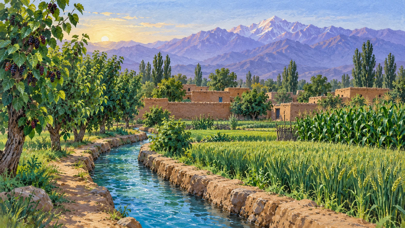
Farmers in Nangarhar use canal water for their crops. They work on the land and share water during hot summer days.
Meteorological Forecasts and Observed Weather Patterns
Reports from the Afghanistan Meteorological Department record extreme summer heat above 42 degrees Celsius in Nangarhar. Hydrological monitors track snowmelt in the Hindu Kush mountains that feeds the Kabul and Kunar river basins.
Agricultural weather bulletins provide ten-day rain forecasts to guide watering for summer maize and vegetable cultivation. Local village farmers watch the wind directions and cloud shapes instead of radio alerts.
Weather experts note that valley temperatures differ from general computer forecasts. Independent audits confirm that district weather reports cannot measure household water supplies.
Kama Canal Network and Traditional Mirab Governance
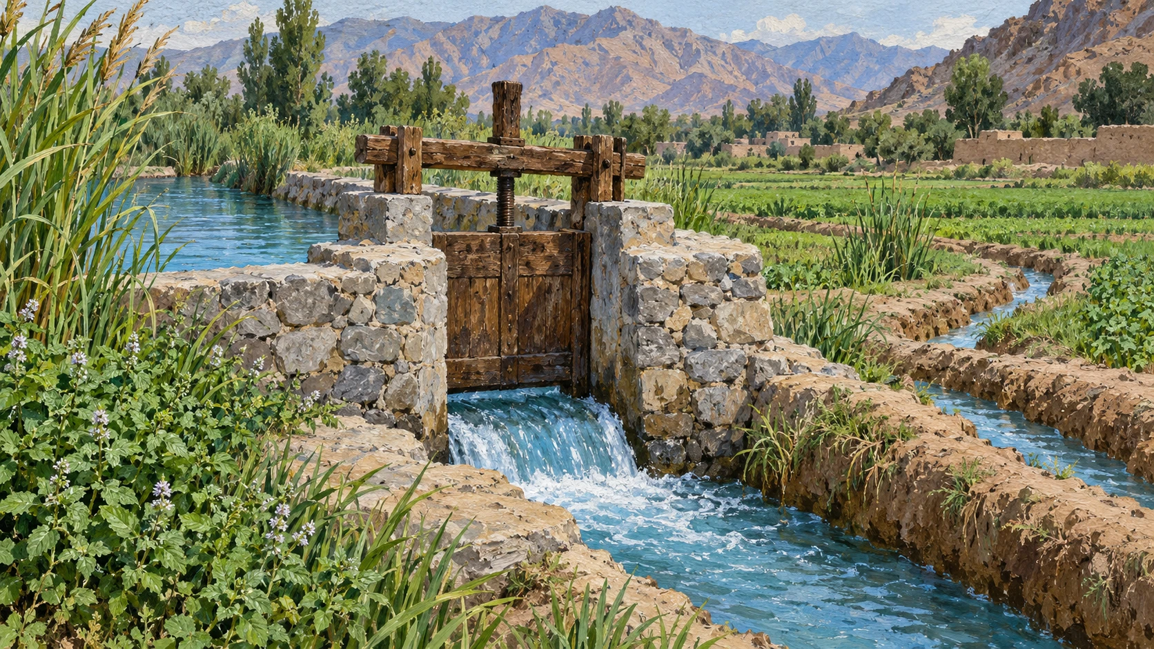
Haji Saheban village takes river water through branch canals from the main Kama network. The village elects an experienced water master called a mirab to direct water shares and settle arguments.
Irrigation runs on a timed rotational turn system called warab that gives hourly water shares to each field. During long heatwaves, upstream diversions reduce water volume for tail-end farmers in the village.
The mirab keeps handwritten registers of day and night watering turns. Village water committees meet each season to adjust canal intake gates when the river stage is low.
Daily Irrigation Clock and Agricultural Work Cycles
Farm families plan their daily work around assigned canal turns that often happen late at night. Farmers open earthen sluice cuts with shovels to flood flat wheat plots, okra beds, and citrus orchards.
Field labour stops between noon and mid-afternoon to avoid hot sun and thermal exhaustion. Work starts again after sunset when temperatures drop and water loss slows down.
Fights happen when upstream growers take extra time past their legal share. Researchers notice that irrigation turns decide when families sleep and eat during summer.
Domestic Water Routines and Shallow Wells
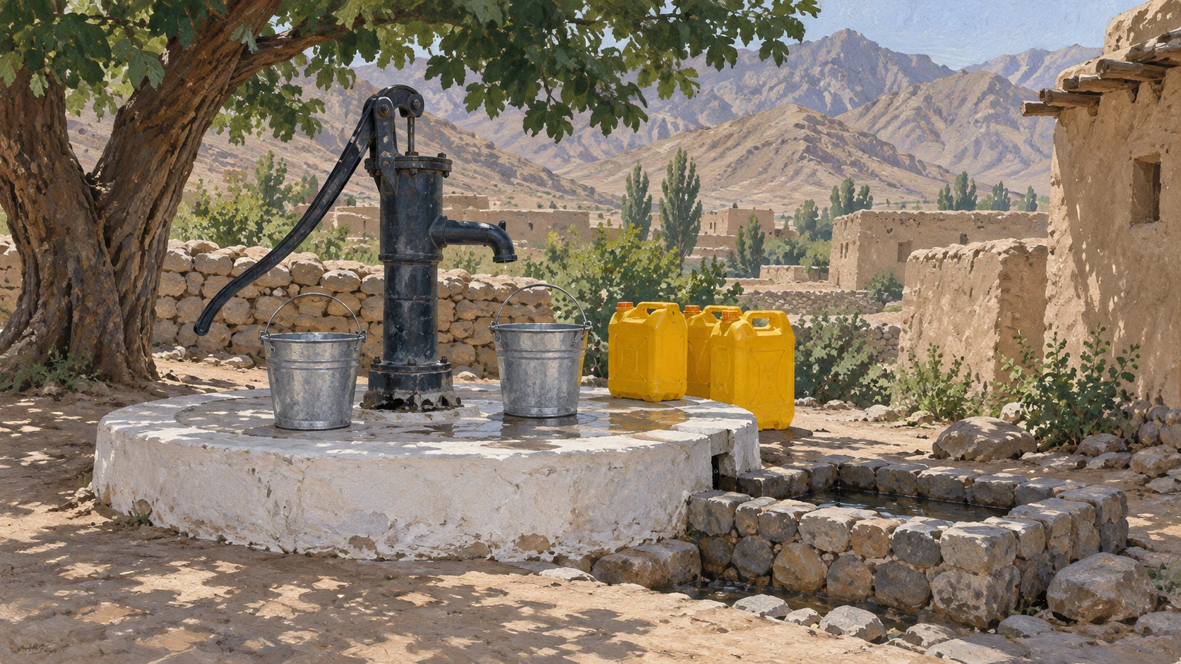
Crops get water from canals, but families drink water from shallow hand-pump wells. Long dry spells drop the underground water table, so villagers must deepen tube wells and replace pump parts.
Women and young boys carry water home in steel buckets and plastic canisters twice every day. Morning water trips happen at dawn before field work and high heat begin.
Testing in gravel aquifers shows hard minerals and bacteria after rain runoff. Health teams ask village shuras to protect well aprons and keep drinking wells clean.
Canal Clearing, Siltation, and Communal Labour
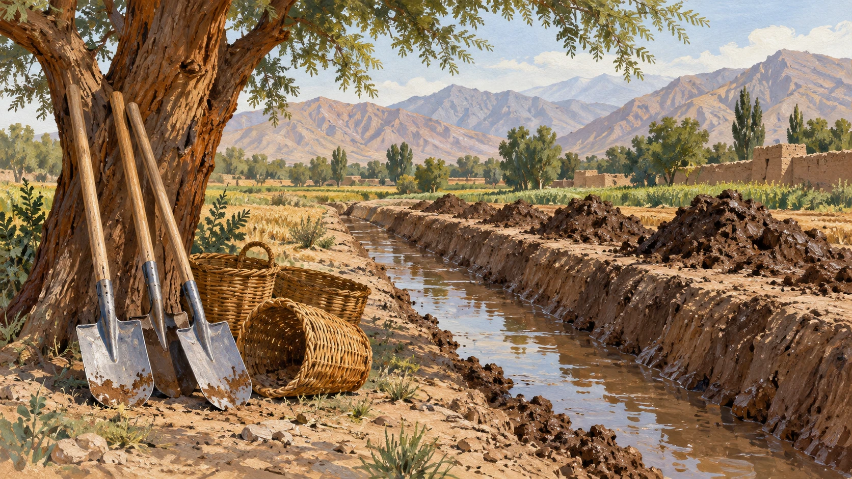
River flows bring thick sediment that leaves heavy silt inside unlined dirt canals each summer. Landowners gather for a collective work day called hashar to dig out the mud.
Families bring shovels and wheelbarrows to restore water depth in the canals. Those who fail to send labour must pay cash fines set by the mirab.
Concrete lining on weak canal sections stops leaks and broken banks. Seasonal flash floods from mountain ravines damage canal gates and need quick stone repairs.
Climate Adaptation and Empirical Water Accounting
Engineers suggest installing concrete flumes to replace wooden measuring sticks at canal gates. Farm advisors teach drip irrigation and laser land leveling to save water.
Local water teams check daily flow heights to solve arguments between villages. Experts say that clear warab rights protect smallholder farmers from upstream water loss.
Offices provide water forecasts to help growers choose good crops before planting. Tracking canal flows and home well use gives clear data for managing river basins.
A2 · Elementary
Canal Water, Daily Farm Work, and Summer Weather in Haji Saheban
Farmers in a Nangarhar village share canal water on a timed schedule, work in their fields, and fetch clean water from village wells.
Meteorological Forecasts and Observed Weather Patterns
In Nangarhar, summer weather is very hot and dry. Official reports from the Afghanistan Meteorological Department show summer temperatures exceeding 42 degrees Celsius. Snow melts in the Hindu Kush mountains each spring and feeds river discharge into the Kabul and Kunar river basins.
Agricultural weather bulletins give ten-day precipitation forecasts to help families plan watering for summer maize and vegetable cultivation. But most village farmers look at wind directions and cloud formations instead of listening to broadcast alerts.
Weather experts know that valley towns have their own warm microclimate. Broad district weather numbers cannot show how much water reaches each family home.
Kama Canal Network and Traditional Mirab Governance
Haji Saheban village gets irrigation water from branch canals linked to the primary Kama irrigation network. The farmers elect a trusted water master called a mirab to direct water sharing and settle user allocation disputes.
Water rights follow a timed rotational schedule called warab that gives hourly water shares to each field. During hot weeks, upstream diversions reduce the flow reaching downstream tail-end farmers in the village.
The mirab keeps handwritten registers of day and night watering turns. Village water committees meet every season to coordinate canal intake gate adjustments when river water is low.
Daily Irrigation Clock and Agricultural Work Cycles
Farming families organize their daily work hours around assigned canal shifts that often take place during nocturnal hours. Men use shovels to open earthen sluice cuts and flood leveled wheat plots, okra beds, and citrus orchards.
Field labour stops between noon and mid-afternoon to escape dangerous heat and thermal exhaustion. Work begins again in the evening when temperatures cool down and canal water evaporation rates decline.
Arguments happen when upstream neighbors take extra time past their statutory allotments. Ethnographic observations show that rotational irrigation turns control when villagers sleep and eat during hot summer months.
Domestic Water Routines and Shallow Wells
Canal water feeds farm crops, but families get domestic drinking water from shallow hand-pump wells. Long dry spells drop the underground water table, so villagers must deepen tube wells and replace pump cylinders.
Women and adolescent boys carry water home in galvanized steel buckets and plastic canisters twice a day. Morning water hauling happens at dawn before field work and heat begin.
Water quality tests in alluvial gravel aquifers show minerals and bacterial contamination after floods. Health teams advise village shuras to build sanitary well aprons to protect drinking water.
Canal Clearing, Siltation, and Communal Labour
Glacial river currents carry heavy sediment that leaves thick silt in unlined feeder canals each summer. Male landowners join together in communal hashar work groups to excavate accumulated silt from the channels.
Participating families bring manual shovels and wheelbarrows to clean the ditch depth before watering starts. Anyone who skips the required manual labour must pay cash fines set by the mirab.
Cement lining on weak canal sections stops seepage losses and canal bank breaches during high water. Fast flash floods from mountain ravines sometimes break canal headworks and need fast masonry repairs.
Climate Adaptation and Empirical Water Accounting
Engineers recommend building concrete measuring flumes instead of using wooden sticks at canal gates. Farm specialists encourage low-pressure drip irrigation and laser land leveling to improve field water efficiency.
Local monitoring groups record daily water intake levels to provide clear evidence in village disputes. Hydrologists explain that clear warab rules protect smallholder farming families against upstream monopolization.
District farm offices share water availability forecasts to guide crop selection before planting starts. Systematic baseline accounting of canal discharge and well extraction gives useful data for managing river basins.
B1 · Intermediate
Canal Water and Summer Farming in Haji Saheban Village
A look at how rural families in Nangarhar share irrigation water, work with the village mirab, and adapt their daily routines to the summer heat.
Meteorological Forecasts and Observed Weather Patterns
In eastern Afghanistan, regional weather forecasts published by the Afghanistan Meteorological Department record extreme summer temperatures exceeding 42 degrees Celsius across Nangarhar. Meanwhile, hydrological monitors track seasonal snowmelt variations in the Hindu Kush mountains that regulate summer river discharge into the Kabul and Kunar river basins.
Agricultural weather bulletins provide ten-day precipitation forecasts to guide irrigation timing for summer maize and vegetable cultivation. Despite these government broadcasts, local village farmers rely on physical observations of wind directions and cloud formations rather than official alerts.
Meteorological analysts distinguish regional computerized forecast projections from localized microclimate temperatures within river valley settlements. Furthermore, independent hydrological audits verify that district-level meteorological data alone cannot capture household-level water allocations.
Kama Canal Network and Traditional Mirab Governance
Haji Saheban village draws surface irrigation water through branch canals diverted from the primary Kama irrigation network. To ensure orderly allocation, the community elects an experienced local water master known as a mirab to oversee water distribution and resolve user allocation disputes.
Traditional irrigation rights operate according to a timed rotational schedule known as warab, allocating hourly water shares to each landholding. During prolonged heatwaves, upstream water diversions frequently reduce canal volume reaching downstream tail-end farmers in Haji Saheban.
To maintain accountability, the mirab maintains handwritten allocation registers specifying the exact turn durations for day and night irrigation turns. Inter-village water committees are convening seasonal coordination meetings to negotiate canal intake gate adjustments during low river stages.
Daily Irrigation Clock and Agricultural Work Cycles
Village farming households adjust their daily work routines around assigned canal shifts that frequently occur during nocturnal hours. Farmers open earthen sluice cuts using long-handled shovels to flood leveled wheat plots, okra beds, and citrus orchards.
Summer field labour ceases during midday hours between noon and mid-afternoon to avoid severe solar radiation and thermal exhaustion. Evening agricultural tasks resume after sunset when temperatures cool and canal water evaporation rates decline.
Disputes arise when upstream irrigators extend their assigned time shares beyond statutory allotments during daylight hours. Ethnographic researchers observe that rotational irrigation turns dictate village sleep patterns and domestic meal schedules throughout summer.
Domestic Water Routines and Shallow Wells
While agricultural crops depend on canal diversions, domestic household drinking water is drawn from shallow subsurface hand-pump wells. Prolonged regional dry spells lower seasonal water table levels, requiring villagers to deepen tube wells and replace pump cylinders.
Village women and adolescent boys manage household water hauling, filling galvanized steel buckets and plastic canisters twice daily. Morning water collection occurs at dawn before agricultural field activity and high ambient temperatures begin.
Water quality testing in alluvial gravel aquifers reveals localized mineral hardness and seasonal bacterial contamination after heavy runoff. Rural health teams urge village shuras to protect wellhead aprons and establish sanitary perimeters around household drinking sources.
Canal Clearing, Siltation, and Communal Labour
Heavy sediment loads carried by glacial river flows deposit thick layers of silt across unlined feeder canals each summer. Traditional collective communal labour mobilizations known as hashar bring male landowners together to excavate accumulated canal silt.
Participating households provide manual shovels and wheelbarrows to restore design flow depth before critical watering periods. Failure to contribute allocated manual labour to canal clearing incurs formal cash fines assessed by the village mirab.
Cement lining of vulnerable canal sections funded by development programs reduces seepage losses and canal bank breaches. Seasonal flash floods descending from dry side ravines damage canal headworks, requiring emergency masonry repairs.
Climate Adaptation and Empirical Water Accounting
Civil society engineers recommend installing concrete flow measuring flumes to replace informal wooden stick measurements at canal gates. Agricultural extension specialists promote low-pressure drip irrigation and laser land leveling to improve field water efficiency.
Community water monitoring groups track daily intake levels to provide objective evidence during inter-village allocation disputes. Hydrologists emphasize that formalizing traditional warab rights protects smallholder farming families against upstream monopolization.
District agricultural offices establish seasonal water availability forecasts to assist farmers in crop selection before planting. Systematic baseline accounting of canal discharge and domestic extraction provides empirical data for regional water basin management.
B2 · Upper Intermediate
Irrigation Schedules, Canal Management, and Heat Adaptation in Rural Nangarhar
An analytical study of how farmers in Haji Saheban village coordinate canal water shares, adapt to extreme summer temperatures, and maintain community irrigation networks.
Meteorological Forecasts and Observed Weather Patterns
In eastern Afghanistan, regional hydrological systems are intimately bound to atmospheric dynamics, as forecasts from the Afghanistan Meteorological Department record extreme summer temperatures exceeding 42 degrees Celsius across Nangarhar. Concurrently, hydrological monitors document seasonal snowmelt variations in the Hindu Kush that regulate summer river discharge into the Kabul and Kunar river basins.
Agricultural weather bulletins provide ten-day precipitation forecasts to guide irrigation timing for summer maize and vegetable cultivation. Nonetheless, smallholder irrigators rely predominantly on empirical physical observations of wind directions and cloud formations rather than broadcast forecast alerts.
Meteorological analysts emphasize the disparity between regional computerized forecast projections and localized microclimate temperatures within river valley settlements. Furthermore, independent hydrological audits verify that district-level meteorological data alone cannot capture household-level water allocations.
Kama Canal Network and Traditional Mirab Governance
Haji Saheban village draws surface irrigation water through branch canals diverted from the primary Kama irrigation network. To maintain institutional order, the community elects an experienced local water master known as a mirab to oversee water distribution and resolve user allocation disputes.
Traditional irrigation rights operate according to a timed rotational schedule known as warab, allocating hourly water shares to each landholding. During prolonged heatwaves, upstream water diversions frequently reduce canal volume reaching downstream tail-end farmers in Haji Saheban.
To ensure administrative transparency, the mirab maintains handwritten allocation registers specifying the exact turn durations for day and night irrigation turns. Inter-village water committees convene seasonal coordination meetings to negotiate canal intake gate adjustments during low river stages.
Daily Irrigation Clock and Agricultural Work Cycles
Village farming households adjust their daily work routines around assigned canal shifts that frequently occur during nocturnal hours. Farmers open earthen sluice cuts using long-handled shovels to flood leveled wheat plots, okra beds, and citrus orchards.
Summer field labour ceases during midday hours between noon and mid-afternoon to avoid severe solar radiation and thermal exhaustion. Evening agricultural tasks resume after sunset when temperatures cool and canal water evaporation rates decline.
Disputes arise when upstream irrigators extend their assigned time shares beyond statutory allotments during daylight hours. Ethnographic researchers observe that rotational irrigation turns dictate village sleep patterns and domestic meal schedules throughout summer.
Domestic Water Routines and Shallow Wells
While agricultural crops depend on canal diversions, domestic household drinking water is drawn from shallow hand-pump wells. Prolonged regional dry spells lower seasonal water table levels, requiring villagers to deepen tube wells and replace pump cylinders.
Village women and adolescent boys manage household water hauling, filling galvanized steel buckets and plastic canisters twice daily. Morning water collection occurs at dawn before agricultural field activity and high ambient temperatures begin.
Water quality testing in alluvial gravel aquifers reveals localized mineral hardness and seasonal bacterial contamination after heavy runoff. Rural health teams urge village shuras to protect wellhead aprons and establish sanitary perimeters around household drinking sources.
Canal Clearing, Siltation, and Communal Labour
Heavy sediment loads carried by glacial river flows deposit thick layers of silt across unlined feeder canals each summer. Traditional collective communal labour mobilizations known as hashar bring male landowners together to excavate accumulated canal silt.
Participating households provide manual shovels and wheelbarrows to restore design flow depth before critical watering periods. Failure to contribute allocated manual labour to canal clearing incurs formal cash fines assessed by the village mirab.
Cement lining of vulnerable canal sections funded by development programs reduces seepage losses and canal bank breaches. Seasonal flash floods descending from dry side ravines damage canal headworks, requiring emergency masonry repairs.
Climate Adaptation and Empirical Water Accounting
Civil society engineers recommend installing concrete flow measuring flumes to replace informal wooden stick measurements at canal gates. Agricultural extension specialists promote low-pressure drip irrigation and laser land leveling to improve field water efficiency.
Community water monitoring groups track daily intake levels to provide objective evidence during inter-village allocation disputes. Hydrologists emphasize that formalizing traditional warab rights protects smallholder farming families against upstream monopolization.
District agricultural offices establish seasonal water availability forecasts to assist farmers in crop selection before planting. Systematic baseline accounting of canal discharge and domestic extraction provides empirical data for regional water basin management.
C1 · Advanced
Irrigation Schedules and Summer Heat in Nangarhar: Water and Daily Life in Haji Saheban Village
An empirical investigation into irrigation canal rotations, mirab water governance, summer heat, domestic well extraction, and community canal clearing in Haji Saheban village, Kama District.
Meteorological Forecasts and Observed Weather Patterns
Regional weather forecasts published by the Afghanistan Meteorological Department record extreme summer temperatures exceeding 42 degrees Celsius across the riparian valleys of Nangarhar. Concurrently, hydrological monitors document seasonal snowmelt variations in the Hindu Kush that regulate summer river discharge into the Kabul and Kunar river basins, determining irrigation allocations.
Agricultural weather bulletins provide ten-day precipitation forecasts to guide irrigation timing for summer maize and vegetable cultivation across the Kama plain. However, local village farmers rely on physical observations of wind directions and cloud formations rather than broadcast forecast alerts, citing the microclimatic variability of the river corridor.
Meteorological analysts distinguish regional computerized forecast projections from localized microclimate temperatures within river valley settlements. Furthermore, independent hydrological audits verify that district-level meteorological data alone cannot capture household-level water allocations across peripheral distributaries.
Kama Canal Network and Traditional Mirab Governance
Haji Saheban village draws surface irrigation water through branch canals diverted from the primary Kama irrigation network. To mediate water rights, the community elects an experienced local water master known as a mirab to oversee water distribution and resolve user allocation disputes with customary legitimacy.
Traditional irrigation rights operate according to a timed rotational schedule known as warab, allocating hourly water shares to each landholding. During prolonged heatwaves, upstream water diversions frequently reduce canal volume reaching downstream tail-end farmers in Haji Saheban, precipitating intense intra-communal friction.
To ensure administrative transparency, the mirab maintains handwritten allocation registers specifying the exact turn durations for day and night irrigation turns. Simultaneously, inter-village water committees convene seasonal coordination meetings to negotiate canal intake gate adjustments during low river stages.
Daily Irrigation Clock and Agricultural Work Cycles
Village farming households adjust their daily work routines around assigned canal shifts that frequently occur during nocturnal hours to maximize hydraulic pressure. Farmers open earthen sluice cuts using long-handled shovels to flood leveled wheat plots, okra beds, and citrus orchards.
Summer field labour ceases during midday hours between noon and mid-afternoon to avoid severe solar radiation and thermal exhaustion among farmworkers. Evening agricultural tasks resume after sunset when temperatures cool and canal water evaporation rates decline substantially.
Disputes arise when upstream irrigators extend their assigned time shares beyond statutory allotments during daylight hours, depriving downstream plots of their entitlement. Ethnographic researchers observe that rotational irrigation turns dictate village sleep patterns and domestic meal schedules throughout summer.
Domestic Water Routines and Shallow Wells
While agricultural crops depend on canal diversions, domestic household drinking water is drawn from shallow hand-pump wells tapping the alluvial water table. Prolonged regional dry spells lower seasonal water table levels, requiring villagers to deepen tube wells and replace pump cylinders at considerable expense.
Village women and adolescent boys manage household water hauling, filling galvanized steel buckets and plastic canisters twice daily. Morning water collection occurs at dawn before agricultural field activity and high ambient temperatures begin, structuring village domestic temporality.
Water quality testing in alluvial gravel aquifers reveals localized mineral hardness and seasonal bacterial contamination after heavy runoff events. Consequently, rural health teams urge village shuras to protect wellhead aprons and establish sanitary perimeters around household drinking sources.
Canal Clearing, Siltation, and Communal Labour
Heavy sediment loads carried by glacial river flows deposit thick layers of silt across unlined feeder canals each summer, choking flow velocity. Traditional collective communal labour mobilizations known as hashar bring male landowners together to excavate accumulated canal silt prior to critical irrigation intervals.
Participating households provide manual shovels and wheelbarrows to restore design flow depth before critical watering periods commence. Failure to contribute allocated manual labour to canal clearing incurs formal cash fines assessed by the village mirab.
Cement lining of vulnerable canal sections funded by development programs reduces seepage losses and canal bank breaches during peak discharge. Nonetheless, seasonal flash floods descending from dry side ravines damage canal headworks, requiring emergency masonry repairs.
Climate Adaptation and Empirical Water Accounting
Civil society engineers recommend installing concrete flow measuring flumes to replace informal wooden stick measurements at canal gates, enhancing volumetric accuracy. Concurrently, agricultural extension specialists promote low-pressure drip irrigation and laser land leveling to improve field water efficiency.
Community water monitoring groups track daily intake levels to provide objective evidence during inter-village allocation disputes. Hydrologists emphasize that formalizing traditional warab rights protects smallholder farming families against upstream monopolization by affluent landed elites.
District agricultural offices establish seasonal water availability forecasts to assist farmers in crop selection before planting commences. Systematic baseline accounting of canal discharge and domestic extraction provides empirical data for regional water basin management.
C2 · Mastery
Hydro-Social Rotations, Riparian Microclimates, and Endogenous Water Governance in Eastern Afghanistan: Canal Ecology in Haji Saheban
A rigorous scholarly assessment of customary riparian governance in Kama District, evaluating warab rotational mechanics, nocturnal agricultural labour shifts, alluvial aquifer depletion, and communal silt remediation.
Meteorological Forecasts and Observed Weather Patterns
Regional hydro-meteorological dynamics in eastern Afghanistan reflect profound riparian microclimatic complexity, as official forecasts published by the Afghanistan Meteorological Department record extreme summer temperatures exceeding 42 degrees Celsius across Nangarhar. Concurrently, hydrological monitors document seasonal snowmelt variations in the Hindu Kush that regulate summer river discharge into the Kabul and Kunar river basins, establishing the volumetric boundary conditions for downstream agriculture.
Agricultural weather bulletins provide ten-day precipitation forecasts to guide irrigation timing for summer maize and vegetable cultivation across alluvial terraces. Nonetheless, smallholder agrarian communities depend predominantly on physical observations of wind directions and cloud formations rather than broadcast forecast alerts, relying on generational vernacular environmental heuristics.
Meteorological analysts emphasize the analytical divergence separating regional computerized forecast projections from localized microclimate temperatures within river valley settlements. Furthermore, independent hydrological audits verify that district-level meteorological data alone cannot capture household-level water allocations across peripheral distributaries.
Kama Canal Network and Traditional Mirab Governance
Haji Saheban village draws surface irrigation water through branch canals diverted from the primary Kama irrigation network. To mediate water entitlements, the agrarian collective elects an experienced local water master known as a mirab to oversee water distribution and resolve user allocation disputes with customary legitimacy.
Traditional riparian rights operate according to a timed rotational schedule known as warab, allocating hourly water shares to each landholding. During prolonged heatwaves, upstream water diversions frequently reduce canal volume reaching downstream tail-end farmers in Haji Saheban, precipitating intense intra-communal friction.
To ensure procedural transparency, the mirab maintains handwritten allocation registers specifying the exact turn durations for day and night irrigation turns. Simultaneously, inter-village water committees convene seasonal coordination meetings to negotiate canal intake gate adjustments during low river stages.
Daily Irrigation Clock and Agricultural Work Cycles
Village farming households adjust their daily work routines around assigned canal shifts that frequently occur during nocturnal hours to maximize hydraulic head. Farmers open earthen sluice cuts using long-handled shovels to flood leveled wheat plots, okra beds, and citrus orchards.
Summer field labour ceases during midday hours between noon and mid-afternoon to avoid severe solar radiation and thermal exhaustion among agrarian laborers. Evening agricultural tasks resume after sunset when temperatures cool and canal water evaporation rates decline substantially.
Disputes arise when upstream irrigators extend their assigned time shares beyond statutory allotments during daylight hours, compromising downstream equity. Ethnographic researchers observe that rotational irrigation turns dictate village sleep patterns and domestic meal schedules throughout summer.
Domestic Water Routines and Shallow Wells
While agricultural crops depend on canal diversions, domestic household drinking water is drawn from shallow hand-pump wells tapping the unconfined alluvial water table. Prolonged regional dry spells lower seasonal water table levels, requiring villagers to deepen tube wells and replace pump cylinders at considerable household expense.
Village women and adolescent boys manage domestic water hauling, filling galvanized steel buckets and plastic canisters twice daily. Morning water collection occurs at dawn before agricultural field activity and high ambient temperatures begin, structuring village domestic rhythms.
Water quality testing in alluvial gravel aquifers reveals localized mineral hardness and seasonal bacterial contamination after heavy runoff events. Consequently, rural health teams urge village shuras to protect wellhead aprons and establish sanitary perimeters around household drinking sources.
Canal Clearing, Siltation, and Communal Labour
Heavy sediment loads carried by glacial river flows deposit thick layers of silt across unlined feeder canals each summer, drastically reducing hydraulic capacity. Traditional collective communal labour mobilizations known as hashar bring male landowners together to excavate accumulated canal silt prior to critical irrigation intervals.
Participating households provide manual shovels and wheelbarrows to restore design flow depth before critical watering periods commence. Failure to contribute allocated manual labour to canal clearing incurs formal cash fines assessed by the village mirab.
Cement lining of vulnerable canal sections funded by development programs reduces seepage losses and canal bank breaches during peak seasonal runoff. Nonetheless, seasonal flash floods descending from dry side ravines damage canal headworks, requiring emergency masonry repairs.
Climate Adaptation and Empirical Water Accounting
Civil society engineers recommend installing concrete flow measuring flumes to replace informal wooden stick measurements at canal gates, ensuring calibrated volumetric accounting. Concurrently, agricultural extension specialists promote low-pressure drip irrigation and laser land leveling to improve field water efficiency.
Community water monitoring groups track daily intake levels to provide objective evidence during inter-village allocation disputes. Hydrologists emphasize that formalizing traditional warab rights protects smallholder farming families against upstream monopolization by powerful landed interests.
District agricultural offices establish seasonal water availability forecasts to assist farmers in crop selection before planting commences. Systematic baseline accounting of canal discharge and domestic extraction provides empirical data for regional water basin management.
Check your understanding
Choose how closely you want to revisit the article. You can refer back while answering, and review explanations when you finish.
Quick Quiz A1
Try one question, then create a free account for the full Quick Quiz. Sign Up Free
Answer every question before checking. There is no time limit.
Your results
/ 1 correct (%)
Read the explanations to see how each answer connects to the article.
-
According to the section on Meteorological Forecasts and Observed Weather Patterns, what does the text identify regarding afghanistan?
1. Answer:
Quick Quiz A2
Try one question, then create a free account for the full Quick Quiz. Sign Up Free
Answer every question before checking. There is no time limit.
Your results
/ 1 correct (%)
Read the explanations to see how each answer connects to the article.
-
According to the section on Meteorological Forecasts and Observed Weather Patterns, what does the text identify regarding summer?
1. Answer:
Quick Quiz B1
Try one question, then create a free account for the full Quick Quiz. Sign Up Free
Answer every question before checking. There is no time limit.
Your results
/ 1 correct (%)
Read the explanations to see how each answer connects to the article.
-
According to the section on Meteorological Forecasts and Observed Weather Patterns, what does the text identify regarding afghanistan?
1. Answer:
Quick Quiz B2
Try one question, then create a free account for the full Quick Quiz. Sign Up Free
Answer every question before checking. There is no time limit.
Your results
/ 1 correct (%)
Read the explanations to see how each answer connects to the article.
-
According to the section on Meteorological Forecasts and Observed Weather Patterns, what does the text identify regarding afghanistan?
1. Answer:
Quick Quiz C1
Try one question, then create a free account for the full Quick Quiz. Sign Up Free
Answer every question before checking. There is no time limit.
Your results
/ 1 correct (%)
Read the explanations to see how each answer connects to the article.
-
According to the section on Meteorological Forecasts and Observed Weather Patterns, what does the text identify regarding weather?
1. Answer:
Quick Quiz C2
Try one question, then create a free account for the full Quick Quiz. Sign Up Free
Answer every question before checking. There is no time limit.
Your results
/ 1 correct (%)
Read the explanations to see how each answer connects to the article.
-
According to the section on Meteorological Forecasts and Observed Weather Patterns, what does the text identify regarding hydro?
1. Answer:
