A1 · Beginner
Fortress of Louisbourg: Historic Walls and Coastal Care
Stone walls and ocean waves meet at a historic Canadian fort where workers protect old masonry.
An Exposed Coastal Setting
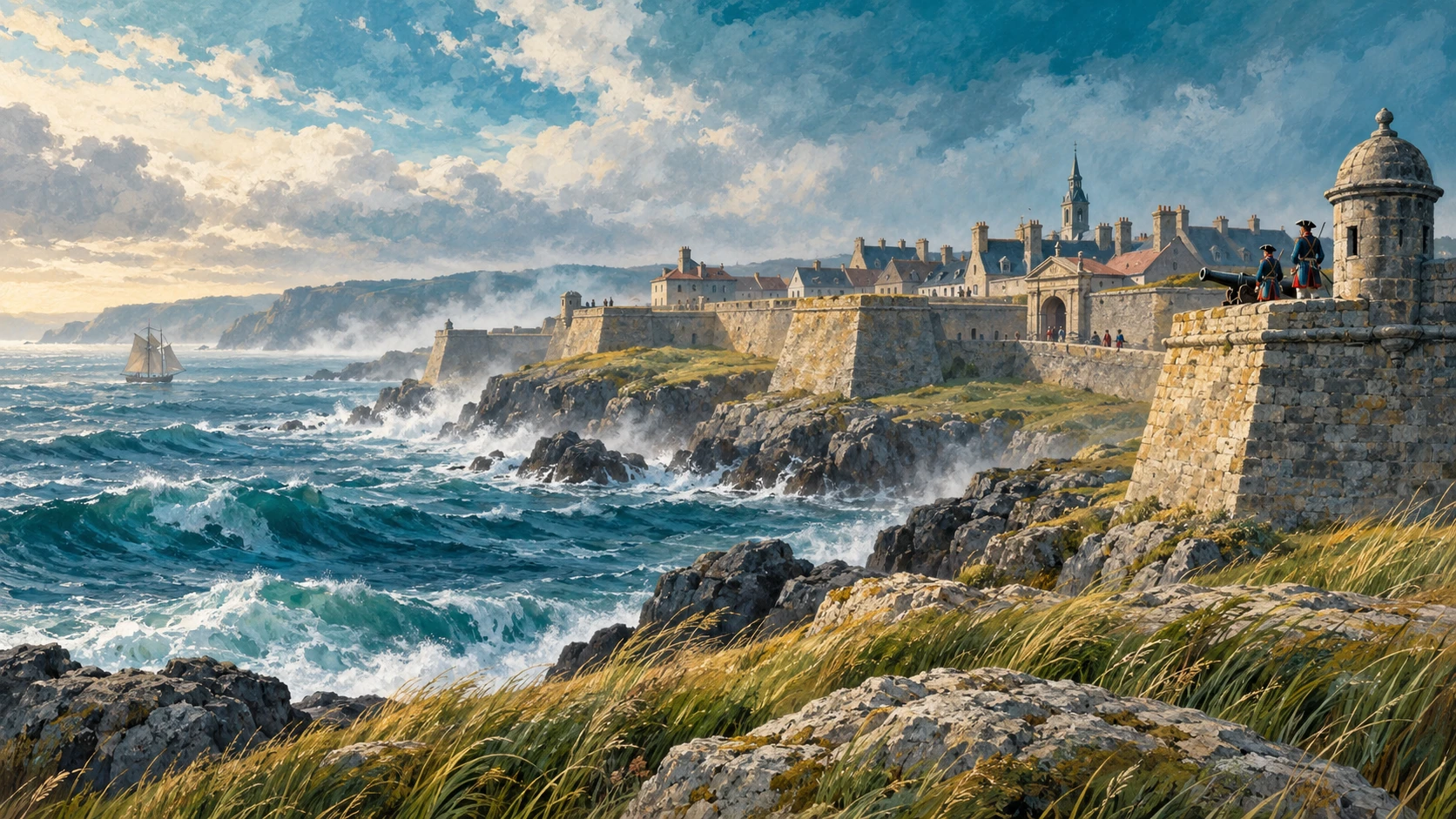
The Fortress of Louisbourg stands on an exposed rocky peninsula on Cape Breton Island. Strong ocean winds bring cold saltwater spray toward the stone settlement. Reconstructed walls and each stone bastion face the open Atlantic Ocean. Winter storms bring high tidal surges against the low coastal ground.
The deep harbour gives shelter behind high headlands. Outside the quiet bay, strong oceanic swells strike the shore. Salt spray can damage old sandstone masonry over time. Cold winter winds also push water into tiny cracks between stones.
Shoreline Armour and Vulnerable Infrastructure
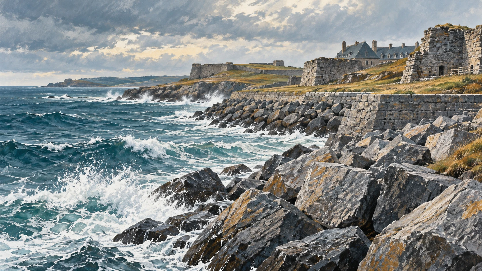
Parks Canada placed heavy granite rip-rap along the shore. Each large boulder forms a breakwater to slow incoming waves. Protective stone revetments stop coastal erosion near the historic walls. Workers build gravel berms and clean every drainage channel after rain.
During autumn gales, rough tides push gravel and shingle onto the low paths. Large ocean storms can move heavy perimeter stones out of place. Work crews check the rock barrier and plan careful replenishment after big winter storms.
Assessing Heritage Assets
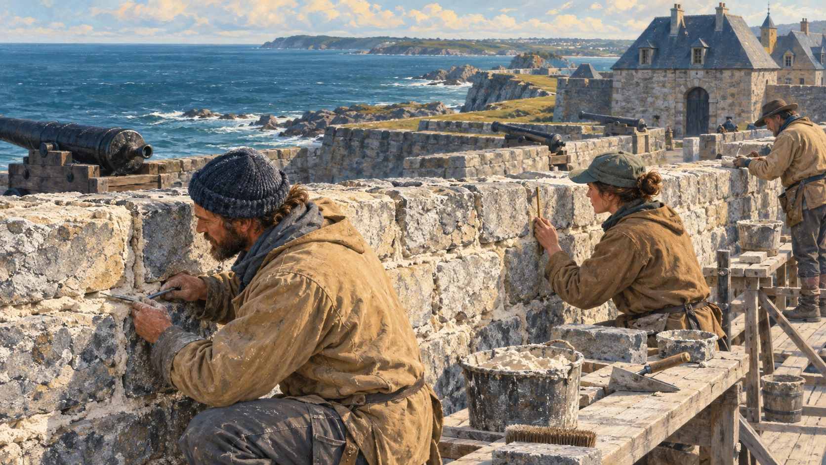
Trained conservators inspect each stone rampart and heavy timber building every spring. Masonry specialists test mortar samples from old barracks walls. Cold winter freeze-thaw cycles cause small cracks in the stone. Asset registers help teams plan repairs and wall underpinning.
Crews protect iron fittings and wooden lintels from wet maritime air. Workers know the difference between eighteenth-century stones and newer reconstruction layers. Careful audits help staff fix the oldest foundation sections first.
Documentation and Monitoring
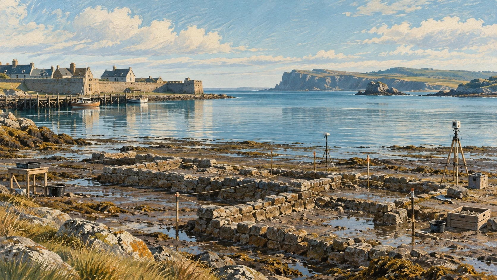
Teams use a terrestrial laser scanner to map the shape of each wall. A small flying drone takes aerial photos of the eroding coastal bluff. Modern survey teams create three-dimensional models of every stone line. A sensor inside each wall measures dampness and temperature shifts.
Digital records show tiny movements before a wall can fail. The survey data helps managers judge how well the rock barriers work. During rescue work, teams record exact spatial coordinates before moving any fallen stone.
Climate-Resilient Plan Commitments
The 2024 Parks Canada management plan sets clear adaptation rules. Planners study rising sea levels to prepare future wall upgrades. Teams test natural defences such as salt marsh grass to act as a green buffer. Staff use compatible lime binders so wet walls can dry naturally.
Emergency readiness rules help teams react quickly during severe ocean surges. Long-term capital plans balance repair costs with site safety. Planned maintenance keeps the historic site safe for future generations.
Collaborative Archaeology Process Limits
A formal Collaborative Archaeology Process guides research on ancestral Mi'kmaw lands. Parks Canada works with the Kwilmu'kw Maw-klusuaqn Negotiation Office on field surveys. Management plans state that Mi'kmaw stories must be told directly by Mi'kmaw people. Teams conduct careful rescue excavations when waves wash away soil along the bluffs.
The field protocol sets a clear boundary for digging and artifact recovery. This operational partnership does not decide larger legal land title questions. Staff respect historical agreements while continuing daily protection work.
A2 · Elementary
Fortress of Louisbourg: Shoreline Protection and Coastal Conservation
Facing the stormy North Atlantic on Cape Breton Island, historic stone ramparts rely on heavy rock armour and ongoing structural monitoring.
An Exposed Coastal Setting
The Fortress of Louisbourg stands along an exposed rocky peninsula on Cape Breton Island facing the open North Atlantic Ocean. Winter storms bring high tidal surges that crash against low coastal earthworks. Dense marine fog and cold winds test the structural endurance of each reconstructed fortification. Reconstructed between the nineteen-sixties and nineteen-eighties, the site recreates one-quarter of the original French colonial settlement.
Ocean winds carry heavy saltwater spray across exterior sandstone masonry and lime mortar joints. Low elevation leaves the outer stone bastions vulnerable to rising sea levels over coming decades. In contrast to outer shores exposed to direct oceanic swells, Louisbourg Harbour offers deep-water shelter behind rocky headlands.
Shoreline Armour and Vulnerable Infrastructure
To protect vulnerable foundations, Parks Canada installed massive granite rip-rap armouring along the exposed seaward perimeter. Heavy boulder breakwater structures absorb incoming wave energy before crashing surf strikes historical stone layers. Sturdy coastal revetment walls prevent coastal erosion from undermining the reconstructed defensive walls. Clean drainage channels and gravel berms guide inland stormwater away from saturated masonry bases.
During severe autumn gales, maintenance crews monitor coastal wash and shifting shingle banks along the lower beaches. Winter nor'easters occasionally move large rocks out of alignment, requiring periodic replenishment and realignment of the protective revetments.
Assessing Heritage Assets
Every year, each trained conservator inspects standing ramparts, bastions, and timber buildings across the site. Masonry specialists extract mortar samples to measure damage from freeze-thaw cycles and salt crystallization. Engineers examine footing stability and soil moisture levels beneath the historic King's Bastion barracks. Comprehensive asset registers prioritize urgent masonry repointing and foundation underpinning in high-risk zones.
Preservation crews protect iron fittings and wooden structural lintels from moist sea air to stop wood rot. Heritage audits help workers distinguish between original eighteenth-century stone foundations and twentieth-century reconstruction materials.
Documentation and Monitoring
Preservation teams use terrestrial laser scanning and photogrammetry to record high-resolution models of coastal ramparts. Drone aerial photography tracks the rate of shoreline retreat and erosion along the coastal bluff. Environmental sensors embedded within stone walls monitor temperature swings, relative humidity, and dampness. Continuous digital monitoring detects microscopic shifts in masonry alignment before structural failures develop.
Survey data establishes an accurate baseline to evaluate how effectively the shoreline armour resists ocean waves. Systematic documentation ensures that rescue operations record exact spatial coordinates before removing any dislodged stones from collapsing shoreline banks.
Climate-Resilient Plan Commitments
The 2024 Parks Canada management plan formalizes climate adaptation strategies for exposed cultural assets. Long-term capital plans incorporate projected sea-level rise models into future barrier upgrades. Nature-based defences, such as salt marsh vegetation, provide an organic buffer alongside heavy stone revetments. Sustainable maintenance uses compatible traditional lime binders that allow damp masonry to breathe and release moisture.
Emergency readiness routines prepare staff to protect sensitive areas during severe storms and surge tides. Forward planning balances preservation investments against the expected lifespan of maritime heritage infrastructure.
Collaborative Archaeology Process Limits
A formal Collaborative Archaeology Process coordinates heritage fieldwork with the Kwilmu'kw Maw-klusuaqn Negotiation Office. The collaborative protocol establishes guidelines for archaeological surveys on ancestral Mi'kmaw lands within the park. Management policies require that Mi'kmaw cultural narratives are communicated directly by Mi'kmaq. During storm emergencies, collaborative excavation teams rescue threatened cultural artifacts from eroding bluffs.
The research agreement establishes operational boundaries for field investigation without resolving broader legal land title questions. Preservation practices reflect practical working partnerships rather than complete settlements of historic sovereign claims.
B1 · Intermediate
Fortress of Louisbourg: Coastal Engineering and Maritime Heritage Preservation
On the rugged coastline of Cape Breton Island, Parks Canada engineers and conservation specialists balance heavy shoreline armour with rigorous archaeological monitoring.
An Exposed Coastal Setting
Situated on an exposed rocky peninsula jutting into the North Atlantic Ocean from Cape Breton Island, the Fortress of Louisbourg confronts some of the most unforgiving marine weather in eastern Canada. Reconstructed between the nineteen-sixties and nineteen-eighties, the national historic site recreates one-quarter of the original eighteenth-century French colonial settlement. The reconstructed stone bastions, defensive earthworks, and garrison buildings face fierce winter gales, dense sea fog, and high tidal surges that test the structural endurance of historic masonry.
Persistent onshore winds drive saltwater spray deep into exterior sandstone walls and lime mortar joints, accelerating mineral degradation. Furthermore, the low elevation of the historic fortification leaves its perimeter earthworks increasingly vulnerable to projected global sea-level rise. While the outer rocky shoreline bears the brunt of unfiltered oceanic swells, Louisbourg Harbour offers deep-water shelter behind natural protective headlands.
Shoreline Armour and Vulnerable Infrastructure
To protect fragile historical foundation layers from being undermined by coastal erosion, Parks Canada engineered massive granite rip-rap armouring along threatened seaward perimeters. Tiered boulder breakwater barriers absorb wave momentum well before crashing breakers reach reconstructed walls. Carefully sloped coastal revetment installations hold the marine shoreline in place, while dedicated drainage channels and gravel berms route inland storm runoff away from saturated masonry bases.
During severe autumn storms, site maintenance specialists closely monitor surf wash and shifting beach shingle banks along low paths. Because intense winter nor'easters can displace heavy multi-tonne granite blocks, management teams conduct periodic replenishment and realignment to ensure structural barriers remain effective against wave action.
Assessing Heritage Assets
Preserving reconstructed Eighteenth-century masonry requires systematic asset management. Every spring, trained conservators conduct comprehensive condition assessments across standing ramparts, bastions, and timber-frame barracks. Masonry experts extract core mortar samples to analyze micro-cracking caused by cyclic freeze-thaw expansion and salt crystallization. Below ground, geotechnical specialists evaluate soil moisture saturation and footing stability beneath the King's Bastion barracks.
Detailed heritage registers prioritize urgent interventions, ensuring that masonry repointing and structural underpinning address the most vulnerable walls first. Conservators also maintain moisture protection on hand-forged iron fittings and structural timber lintels, while preservation audits carefully distinguish original colonial stonework from modern twentieth-century reconstruction materials.
Documentation and Monitoring
Preservation engineering at Louisbourg increasingly combines traditional crafts with advanced digital surveying technologies. Surveyors use terrestrial laser scanning alongside high-resolution photogrammetry to compile three-dimensional digital elevation models of coastal ramparts. Uncrewed aerial drone flights capture repeatable photographic transects that track coastal bluff erosion and beach recession rates year over year.
Inside historical stone structures, electronic sensors track temperature fluctuations, relative humidity, and structural dampness. Continuous telemetry helps engineers detect microscopic wall movement long before visible failure occurs. These digital records create a baseline for evaluating the performance of coastal defences, while systematic protocols ensure that rescue excavations record precise spatial coordinates before moving any dislodged stones.
Climate-Resilient Plan Commitments
The 2024 Parks Canada management plan formalizes long-term climate adaptation strategies across the entire historic reserve. Capital works programs integrate climate projections and local sea-level rise models into future protective upgrades. In addition to stone revetments, nature-based defences such as salt marsh vegetation buffers are cultivated to absorb storm surge energy naturally. Masons exclusively apply compatible traditional lime binders that breathe, allowing interior dampness to evaporate without spalling the stone.
Structured emergency readiness protocols establish rapid response routines for extreme maritime weather events. Strategic capital planning weighs intervention costs against the anticipated lifespan of coastal heritage assets, ensuring public resources target viable structures.
Collaborative Archaeology Process Limits
Archaeological management at the fortress operates through a formal Collaborative Archaeology Process with the Kwilmu'kw Maw-klusuaqn Negotiation Office. This collaborative framework governs research on ancestral Mi'kmaw lands within the historic park boundaries. Parks Canada policy affirms that Mi'kmaw cultural narratives and historical interpretations must be led and communicated directly by Mi'kmaq. During storm emergencies, collaborative teams execute rescue digs to recover endangered cultural artifacts from collapsing bluffs.
The collaborative framework defines specific operational protocols for archaeological investigation without resolving broader legal land title or treaty rights. Documented conservation procedures reflect practical field partnerships rather than comprehensive legal determinations of historic sovereignty.
B2 · Upper Intermediate
Fortress of Louisbourg: Shoreline Engineering and Historic Masonry Preservation
On an exposed peninsula in Cape Breton, coastal engineers and conservation specialists combine granite armouring, digital telemetry, and collaborative protocols to protect vulnerable maritime ramparts.
An Exposed Coastal Setting
Projecting into the North Atlantic Ocean from the eastern tip of Cape Breton Island, the Fortress of Louisbourg occupies an exceptionally exposed rocky peninsula. Reconstructed between the nineteen-sixties and nineteen-eighties, the national historic site reconstructs roughly one-quarter of the original eighteenth-century French colonial walled town. The seaward perimeter confronts intense winter nor'easters, heavy tidal surges, and persistent maritime fog that test the physical endurance of reconstructed stone ramparts and earthworks.
Onshore winds continuously deposit airborne sea salts onto exterior sandstone masonry and lime mortar joints, accelerating stone weathering and surface spalling over multi-decade cycles. Furthermore, the low elevation of the historic settlement leaves defensive bastions and perimeter ditches vulnerable to rising mean sea levels and intensifying storm waves. In sharp contrast to outer coastal shores subjected to raw oceanic swells, Louisbourg Harbour provides reliable deep-water shelter behind rocky barrier headlands.
Shoreline Armour and Vulnerable Infrastructure
To prevent coastal erosion from undermining low-lying eighteenth-century foundation masonry, Parks Canada installed thousands of tonnes of heavy granite rip-rap along vulnerable seaward sectors. Tiered boulder breakwater structures break high-velocity surf offshore, dissipating destructive wave energy before breaker crests slam against stone retaining structures. Strategically placed rock revetments lock coastal bluffs into place, while engineered gravel berms and perimeter drainage channels steer heavy surface stormwater safely away from saturated wall footings.
Engineering technicians monitor coastal wash and shifting shingle deposits along low beaches during severe autumn gales. Because catastrophic winter nor'easters occasionally displace multi-tonne rocks, maintenance teams carry out scheduled replenishment and structural realignment to ensure coastal armouring continues to protect vulnerable historical assets.
Assessing Heritage Assets
Preserving reconstructed eighteenth-century fortifications in a harsh subarctic marine climate demands methodical asset evaluation. Every spring, experienced conservators carry out comprehensive baseline condition assessments across exposed ramparts, masonry bastions, and timber-frame barracks. Materials scientists test mortar core extractions to measure internal delamination caused by freeze-thaw cycles and pore-level salt crystallization. Subsurface geotechnical probes evaluate soil saturation levels and footing stability beneath the monumental King's Bastion barracks.
Digital asset registers prioritize immediate stabilization work, directing funding toward urgent joint repointing and deep foundation underpinning along the most fragile perimeters. Conservators also maintain protective coatings on hand-forged iron hardware and structural timber lintels, while rigorous conservation audits carefully differentiate original eighteenth-century foundations from twentieth-century reconstruction materials.
Documentation and Monitoring
Preservation engineering at the site increasingly pairs historical crafts with high-precision digital surveying methodologies. Field surveyors combine terrestrial laser scanning with high-resolution aerial photogrammetry to generate three-dimensional structural models of maritime ramparts. Regular uncrewed drone flights document coastal bluff recession rates and quantify intertidal shoreline erosion across repeatable seasonal transects.
Within historic masonry walls, networked environmental sensors track ambient temperature shifts, relative humidity gradients, and moisture saturation. Continuous digital telemetry enables structural engineers to detect sub-millimeter masonry shifts long before outward structural collapse occurs. These survey datasets establish an empirical baseline for evaluating coastal defences, while systematic protocols ensure that rescue excavations register exact spatial coordinates before removing any dislodged stones.
Climate-Resilient Plan Commitments
The 2024 Parks Canada management plan formalizes long-term climate adaptation strategies across the entire fortress precinct. Forward capital planning incorporates dynamic sea-level rise projections and extreme storm modeling into future barrier upgrades. Nature-based defences, including restored salt marsh vegetation buffers, are deployed alongside heavy rock revetments to dissipate tidal wave shocks organically. Conservation masons work exclusively with compatible traditional lime binders that breathe, allowing internal moisture to escape without spalling stone faces.
Formal emergency readiness protocols mandate rapid deployment routines for extreme marine storms and surge flooding. Strategic capital allocation weighs expensive physical intervention costs against the projected functional lifespan of maritime heritage infrastructure, directing investments toward sustainable structural targets.
Collaborative Archaeology Process Limits
Archaeological stewardship across the national historic site is guided by a formal Collaborative Archaeology Process with the Kwilmu'kw Maw-klusuaqn Negotiation Office. This operational protocol establishes clear research parameters for archaeological surveys conducted across ancestral Mi'kmaw lands within the park reserve. Parks Canada management commitments affirm that Mi'kmaw historical narratives and cultural interpretation must be led and communicated directly by Mi'kmaq. During storm emergencies, collaborative salvage teams undertake rescue excavations to document and recover artifacts from rapidly eroding coastal bluffs.
The collaborative framework provides clear operational boundaries for field investigation without resolving broader legal land title questions or overarching treaty negotiations. Documented site management practices embody practical conservation partnerships rather than definitive judicial settlements of historic sovereign claims.
C1 · Advanced
Fortress of Louisbourg: Coastal Engineering and Structural Conservation
Across Cape Breton's storm-swept coast, Parks Canada deploys marine rip-rap, three-dimensional photogrammetry, and co-managed archaeology to defend eighteenth-century fortifications against rising sea levels.
An Exposed Coastal Setting
Projecting into the North Atlantic Ocean from the eastern shores of Cape Breton Island, the Fortress of Louisbourg occupies an exceptionally exposed rocky peninsula. Reconstructed between the nineteen-sixties and nineteen-eighties, the national historic site recreates approximately one-quarter of the original eighteenth-century French colonial walled fortress and administrative hub. The exposed seaward ramparts face violent winter gales, tidal surges, and persistent maritime fog that test the physical endurance of reconstructed stone fortifications.
Prevailing onshore winds drive pulverized saltwater spray into porous sandstone masonry and lime mortar joints, accelerating sub-surface chemical weathering and structural spalling over multi-decade cycles. Low topographic elevation leaves outer coastal bastions and defensive earthworks directly exposed to rising mean sea levels and wave run-up. In marked contrast to the outer headlands exposed to direct oceanic swells, the adjacent Louisbourg Harbour affords deep-water shelter behind natural protective barrier islands.
Shoreline Armour and Vulnerable Infrastructure
To insulate vulnerable foundation layers against wave undercutting and progressive coastal erosion, Parks Canada engineered extensive granite rip-rap barriers along threatened shorelines. Multi-tiered boulder breakwater configurations trip incoming high-energy waves offshore, dissipating kinetic energy before breaker crests strike historical foundation stones. Sturdy rock revetments stabilize vulnerable coastal slopes, while engineered gravel berms and perimeter drainage systems redirect torrential surface runoff away from saturated masonry bases.
Engineering teams continuously evaluate intertidal wash and shifting shingle bars along lower beaches during severe autumn gales. Because violent winter nor'easters frequently displace massive granite boulders, site engineers execute scheduled replenishment and geometric realignment to ensure coastal armouring maintains sufficient mass to repel Atlantic storm tides.
Assessing Heritage Assets
Preserving reconstructed eighteenth-century fortifications against harsh subarctic marine decay requires rigorous preventative asset management. Every spring, skilled conservators execute methodical structural audits across elevated ramparts, masonry bastions, and timber-frame barracks. Materials scientists test core mortar samples to evaluate internal micro-fissuring induced by cyclic freeze-thaw expansion and destructive salt crystallization. Concurrently, subsurface geotechnical instruments evaluate soil moisture gradients and foundation bearing stability beneath the monumental King's Bastion barracks.
Detailed asset registers establish intervention priorities, ensuring capital allocations support critical mortar repointing and structural underpinning across vulnerable foundations. Conservators also maintain vapour-permeable micro-crystalline wax coatings on hand-forged iron hardware and structural timber lintels, while preservation audits carefully delineate original eighteenth-century masonry footings from modern twentieth-century reconstruction materials.
Documentation and Monitoring
Conservation engineering across the Louisbourg compound unites traditional historic masonry practices with precision surveying instruments. Surveyors combine terrestrial laser scanning with high-resolution aerial photogrammetry to generate millimeter-accurate digital models of vulnerable sea ramparts. Uncrewed aerial drone flights establish repeatable seasonal photographic transects that document bluff retreat and quantify coastal recession year over year.
Embedded environmental telemetry sensors monitor ambient temperature swings, relative humidity gradients, and moisture saturation within stone walls. Continuous digital telemetry allows structural engineers to detect sub-millimeter masonry displacement long before visible structural failure manifests. These datasets establish an empirical baseline for evaluating coastal defences, while standardized salvage protocols ensure that rescue excavations record exact spatial coordinates before removing any dislodged stones from collapsing shoreline banks.
Climate-Resilient Plan Commitments
The 2024 Parks Canada management plan formalizes progressive climate adaptation frameworks across the entire coastal park. Long-term capital programming incorporates hydrodynamic sea-level rise models and storm surge projections into ongoing barrier upgrades. Nature-based defences, including restored salt marsh vegetation buffers, are deployed alongside stone barriers to attenuate wave impact organically. Masons exclusively employ compatible traditional lime binders that breathe, allowing deep moisture to escape without spalling stone faces.
Comprehensive emergency readiness protocols establish rapid operational deployments during severe maritime gales and surge flooding. Long-term capital budgeting systematically balances structural intervention costs against the projected functional lifespan of maritime assets, concentrating resources where physical stabilization produces durable outcomes.
Collaborative Archaeology Process Limits
Archaeological oversight across the national historic site is structured through a formal Collaborative Archaeology Process with the Kwilmu'kw Maw-klusuaqn Negotiation Office. This bilateral protocol establishes clear ethical guidelines for archaeological surveys conducted across ancestral Mi'kmaw lands within the park precinct. Parks Canada policies mandate that Mi'kmaw cultural narratives and historical interpretations must be led and communicated directly by Mi'kmaq. During storm emergencies, collaborative field teams execute rescue excavations to document and recover artifacts from eroding coastal bluffs.
The collaborative framework establishes operational boundaries for field investigation without resolving broader legal land title questions or comprehensive treaty negotiations. Documented site procedures reflect pragmatic technical partnerships rather than definitive legal resolutions of historic sovereign claims.
C2 · Mastery
Fortress of Louisbourg: Coastal Engineering and Structural Conservation
Across Cape Breton's storm-swept coast, Parks Canada deploys marine rip-rap, three-dimensional photogrammetry, and co-managed archaeology to defend eighteenth-century fortifications against rising sea levels.
An Exposed Coastal Setting
Projecting into the North Atlantic Ocean from the eastern shores of Cape Breton Island, the Fortress of Louisbourg occupies an exceptionally exposed rocky peninsula. Reconstructed between the nineteen-sixties and nineteen-eighties, the national historic site recreates approximately one-quarter of the original eighteenth-century French colonial walled fortress and administrative hub. The exposed seaward ramparts face violent winter gales, tidal surges, and persistent maritime fog that test the physical endurance of reconstructed stone fortifications.
Prevailing onshore winds drive pulverized saltwater spray into porous sandstone masonry and lime mortar joints, accelerating sub-surface chemical weathering and structural spalling over multi-decade cycles. Low topographic elevation leaves outer coastal bastions and defensive earthworks directly exposed to rising mean sea levels and wave run-up. In marked contrast to the outer headlands exposed to direct oceanic swells, the adjacent Louisbourg Harbour affords deep-water shelter behind natural protective barrier islands.
Shoreline Armour and Vulnerable Infrastructure
To insulate vulnerable foundation layers against wave undercutting and progressive coastal erosion, Parks Canada engineered extensive granite rip-rap barriers along threatened shorelines. Multi-tiered boulder breakwater configurations trip incoming high-energy waves offshore, dissipating kinetic energy before breaker crests strike historical foundation stones. Sturdy rock revetments stabilize vulnerable coastal slopes, while engineered gravel berms and perimeter drainage systems redirect torrential surface runoff away from saturated masonry bases.
Engineering teams continuously evaluate intertidal wash and shifting shingle bars along lower beaches during severe autumn gales. Because violent winter nor'easters frequently displace massive granite boulders, site engineers execute scheduled replenishment and geometric realignment to ensure coastal armouring maintains sufficient mass to repel Atlantic storm tides.
Assessing Heritage Assets
Preserving reconstructed eighteenth-century fortifications against harsh subarctic marine decay requires rigorous preventative asset management. Every spring, skilled conservators execute methodical structural audits across elevated ramparts, masonry bastions, and timber-frame barracks. Materials scientists test core mortar samples to evaluate internal micro-fissuring induced by cyclic freeze-thaw expansion and destructive salt crystallization. Concurrently, subsurface geotechnical instruments evaluate soil moisture gradients and foundation bearing stability beneath the monumental King's Bastion barracks.
Detailed asset registers establish intervention priorities, ensuring capital allocations support critical mortar repointing and structural underpinning across vulnerable foundations. Conservators also maintain vapour-permeable micro-crystalline wax coatings on hand-forged iron hardware and structural timber lintels, while preservation audits carefully delineate original eighteenth-century masonry footings from modern twentieth-century reconstruction materials.
Documentation and Monitoring
Conservation engineering across the Louisbourg compound unites traditional historic masonry practices with precision surveying instruments. Surveyors combine terrestrial laser scanning with high-resolution aerial photogrammetry to generate millimeter-accurate digital models of vulnerable sea ramparts. Uncrewed aerial drone flights establish repeatable seasonal photographic transects that document bluff retreat and quantify coastal recession year over year.
Embedded environmental telemetry sensors monitor ambient temperature swings, relative humidity gradients, and moisture saturation within stone walls. Continuous digital telemetry allows structural engineers to detect sub-millimeter masonry displacement long before visible structural failure manifests. These datasets establish an empirical baseline for evaluating coastal defences, while standardized salvage protocols ensure that rescue excavations record exact spatial coordinates before removing any dislodged stones from collapsing shoreline banks.
Climate-Resilient Plan Commitments
The 2024 Parks Canada management plan formalizes progressive climate adaptation frameworks across the entire coastal park. Long-term capital programming incorporates hydrodynamic sea-level rise models and storm surge projections into ongoing barrier upgrades. Nature-based defences, including restored salt marsh vegetation buffers, are deployed alongside stone barriers to attenuate wave impact organically. Masons exclusively employ compatible traditional lime binders that breathe, allowing deep moisture to escape without spalling stone faces.
Comprehensive emergency readiness protocols establish rapid operational deployments during severe maritime gales and surge flooding. Long-term capital budgeting systematically balances structural intervention costs against the projected functional lifespan of maritime assets, concentrating resources where physical stabilization produces durable outcomes.
Collaborative Archaeology Process Limits
Archaeological oversight across the national historic site is structured through a formal Collaborative Archaeology Process with the Kwilmu'kw Maw-klusuaqn Negotiation Office. This bilateral protocol establishes clear ethical guidelines for archaeological surveys conducted across ancestral Mi'kmaw lands within the park precinct. Parks Canada policies mandate that Mi'kmaw cultural narratives and historical interpretations must be led and communicated directly by Mi'kmaq. During storm emergencies, collaborative field teams execute rescue excavations to document and recover artifacts from eroding coastal bluffs.
The collaborative framework establishes operational boundaries for field investigation without resolving broader legal land title questions or comprehensive treaty negotiations. Documented site procedures reflect pragmatic technical partnerships rather than definitive legal resolutions of historic sovereign claims.
Check your understanding
Choose how closely you want to revisit the article. You can refer back while answering, and review explanations when you finish.
Quick Quiz A1
Try one question, then create a free account for the full Quick Quiz. Sign Up Free
Answer every question before checking. There is no time limit.
Your results
/ 1 correct (%)
Read the explanations to see how each answer connects to the article.
-
Where does the Fortress of Louisbourg stand on Cape Breton Island?
1. Answer:
Quick Quiz A2
Try one question, then create a free account for the full Quick Quiz. Sign Up Free
Answer every question before checking. There is no time limit.
Your results
/ 1 correct (%)
Read the explanations to see how each answer connects to the article.
-
What brings high tidal surges against the low coastal earthworks at Louisbourg?
1. Answer:
Quick Quiz B1
Try one question, then create a free account for the full Quick Quiz. Sign Up Free
Answer every question before checking. There is no time limit.
Your results
/ 1 correct (%)
Read the explanations to see how each answer connects to the article.
-
Where does the Fortress of Louisbourg confront severe marine weather in eastern Canada?
1. Answer:
Quick Quiz B2
Try one question, then create a free account for the full Quick Quiz. Sign Up Free
Answer every question before checking. There is no time limit.
Your results
/ 1 correct (%)
Read the explanations to see how each answer connects to the article.
-
Where does the Fortress of Louisbourg project into the North Atlantic Ocean from Cape Breton Island?
1. Answer:
Quick Quiz C1
Try one question, then create a free account for the full Quick Quiz. Sign Up Free
Answer every question before checking. There is no time limit.
Your results
/ 1 correct (%)
Read the explanations to see how each answer connects to the article.
-
Where does the Fortress of Louisbourg project into the North Atlantic Ocean?
1. Answer:
Quick Quiz C2
Try one question, then create a free account for the full Quick Quiz. Sign Up Free
Answer every question before checking. There is no time limit.
Your results
/ 1 correct (%)
Read the explanations to see how each answer connects to the article.
-
Where does the Fortress of Louisbourg project into the North Atlantic Ocean?
1. Answer:
