A1 · Beginner
Tr’ondëk-Klondike: A Northern River Landscape
A wide river in the Canadian north connects historic settlements, old gold camps, and protected First Nation lands.
The Yukon River Setting
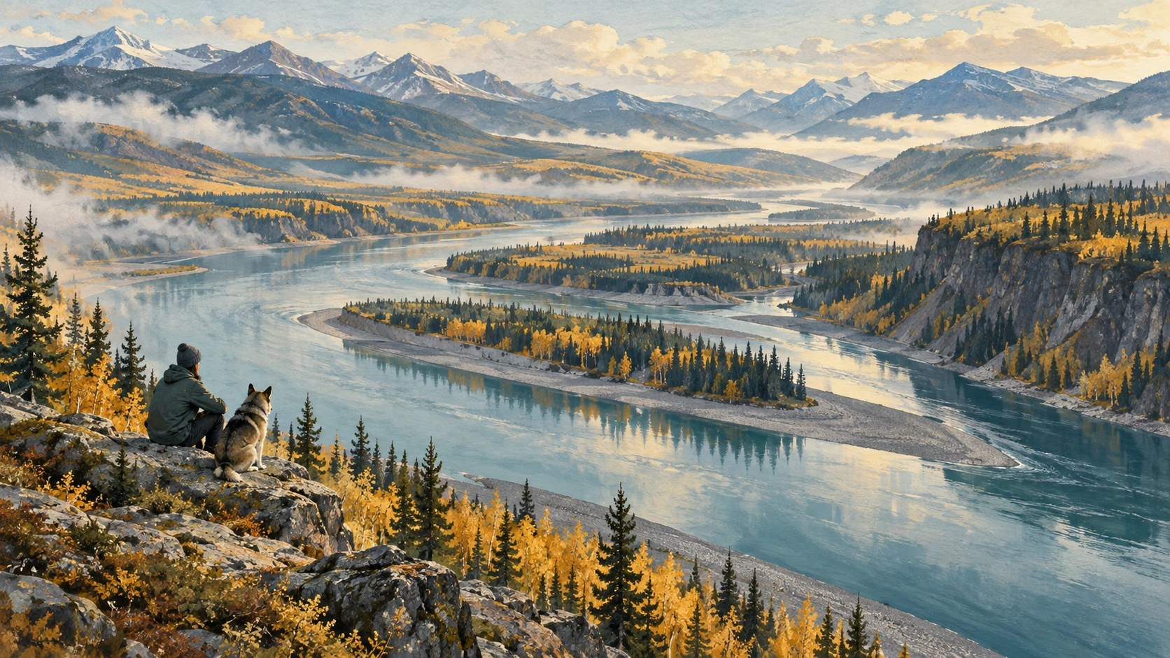
The Tr’ondëk-Klondike landscape sits along the upper Yukon River corridor in west-central Yukon, Canada. A wide subarctic waterway flows past a rocky river bluff, gravel islands, and dense boreal taiga. Cold winter ice freezes the broad river surface, creating natural overland travel trails between small communities.
The historic confluence of the Klondike and Yukon rivers provided seasonal fishing camp areas and water transportation. Rolling valleys across the Klondike plateau feature green taiga vegetation. Dense stands of white spruce and paper birch trees cover the hills beside the water.
The Named Serial-Property Components
UNESCO’s 2023 inscription defines Tr’ondëk-Klondike as a serial cultural property with eight distinct parts. Each designated component contributes specific historical and archaeological evidence to the protected area. The historic site includes Fort Selkirk, Moosehide, Tr'ochëk, and parts of the Dawson Historical Complex.
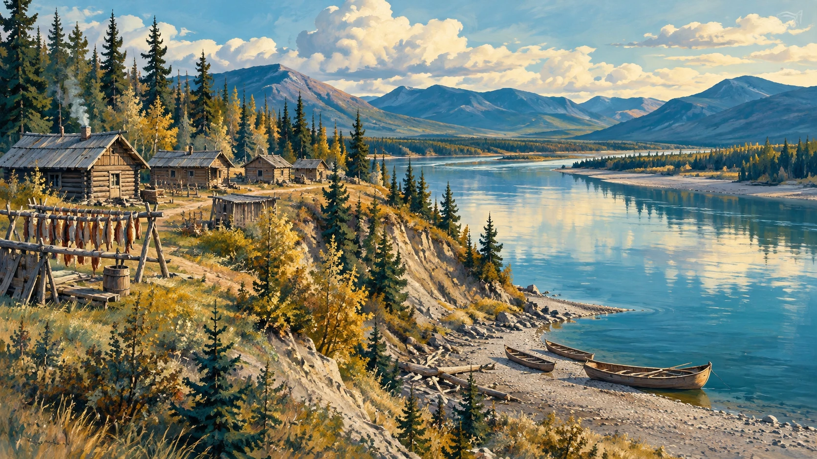
Tr'ochëk encompasses a traditional salmon fishing camp located on a flat river terrace across from Dawson City. Moosehide represents an enduring riverfront settlement located downriver along the eastern bank of the Yukon River. Farther upriver, Fort Selkirk preserves a historic trading post where river travelers met.
The Record's Stated Chronology
The nomination record outlines an extensive chronological continuum across thousands of years of human life. Old excavations confirm seasonal salmon harvest activity and hunting camps dating back millennia. Early trade records show fur-trading networks operating long before miners arrived in the valley.
The timeline documents a rapid shift from traditional food gathering to commercial riverboat traffic. In the late nineteenth century, a sudden influx of each gold prospector changed local towns forever. Modern records trace community strength and heritage care after early mining work slowed down.
The Gold-Rush Period in UNESCO's Account
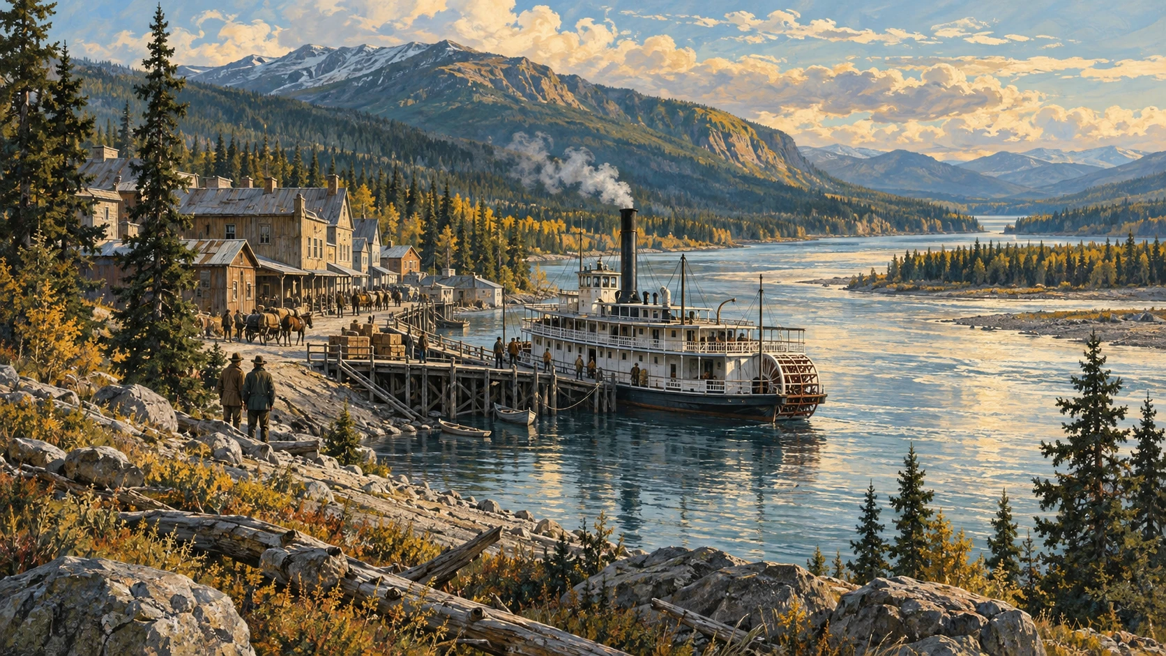
An 1896 gold strike on Bonanza Creek started the famous Klondike Gold Rush across the valley. Dawson City quickly grew into a bustling boomtown with wooden boardwalks and false-front buildings. Mechanical mining machines left giant gravel piles along small tributary creek valleys.
A large floating dredge dug through valley gravel to recover small flakes of gold. Wooden riverboats such as the paddle-wheel sternwheeler carried food and passengers along the river. Mining claims changed traditional hunting lands while seasonal Indigenous life demonstrated lasting endurance.
UNESCO's Protection Description
Tr’ondëk-Klondike receives joint legal protection under federal, territorial, and First Nation laws. The Tr’ondëk Hwëch’in Final Agreement sets land management rules across regional settlement lands. Parks Canada and territorial wardens protect historic cabins and fragile archaeological dig sites.
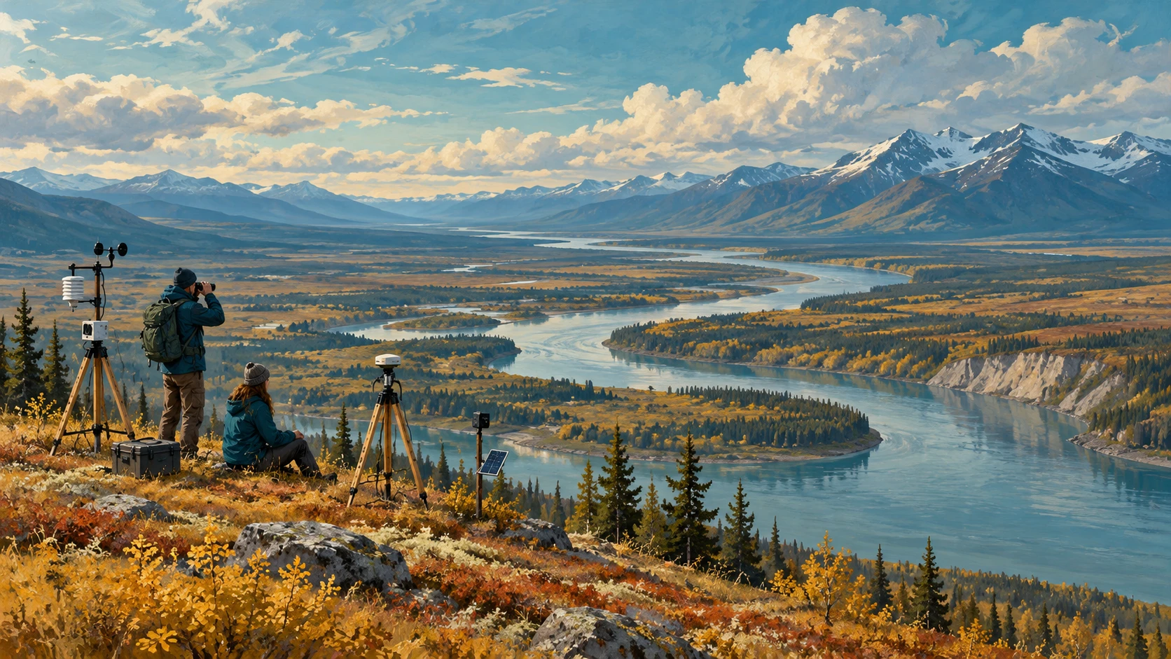
A wide protective buffer around each component limits mineral exploration and new roads. Scientific teams monitor the riverbank to establish an environmental baseline for water safety. Management plans support low-impact cultural tourism that protects fragile heritage structures.
Limits on Community Authority and Image Permission
The UNESCO inscription record is an international listing rather than an independent community self-description. Sacred cultural knowledge remains under the exclusive authority of the Tr’ondëk Hwëch’in government. A formal protocol guides how outside researchers visit local heritage sites.
An international nomination dossier does not grant open permission to copy private cultural photographs. Knowledge sharing requires direct consultation with local elders and elected community leaders. Researchers must respect Indigenous cultural ownership and oral traditions at all times.
A2 · Elementary
Tr’ondëk-Klondike: A Subarctic Cultural Landscape in Canada
Along the upper Yukon River, eight protected components preserve ancient Indigenous routes, early trading posts, and gold rush history.
The Yukon River Setting
The Tr’ondëk-Klondike landscape sits along the upper Yukon River corridor in west-central Yukon, Canada. A wide subarctic waterway winds past a high river bluff, gravel islands, and dense boreal taiga. The historic confluence of the Klondike and Yukon rivers provided seasonal fishing camp areas and water transportation. In winter, cold temperatures freeze the river surface, creating natural overland travel corridors between communities.
The cultural landscape spans several distinct physiographic zones across the Klondike plateau. Boreal forest vegetation consisting of white spruce, trembling aspen, and paper birch blankets the rolling river valleys.
The Named Serial-Property Components
UNESCO’s 2023 inscription defines Tr’ondëk-Klondike as a serial cultural property comprising eight distinct landscape components. The designated components include Fort Selkirk, Moosehide, Tr'ochëk, and parts of the Dawson Historical Complex. Tr'ochëk encompasses a traditional salmon fishing camp situated on a river flat across from Dawson City.
Downriver along the eastern bank of the Yukon River, Moosehide represents an enduring riverfront settlement. Farther upriver, Fort Selkirk preserves a historic trading post and multi-layered seasonal occupation area. Each serial component contributes specific architectural, archaeological, and topographical evidence to the property.
The Record's Stated Chronology
The nomination documentation outlines an extensive chronological continuum spanning millennia of Indigenous land use. Archaeological excavations confirm seasonal salmon harvesting and hunting camps dating back several thousand years. Early historical records identify eighteenth- and nineteenth-century fur-trading networks operating before placer gold discoveries.
The timeline documents a rapid transition from subsistence harvesting to commercial river transport. In the late nineteenth century, the region experienced an influx of tens of thousands of prospectors during the gold rush. Modern documentation traces community resilience and heritage management following twentieth-century industrial decline.
The Gold-Rush Period in UNESCO's Account
The 1896 gold strike on Bonanza Creek triggered the Klondike Gold Rush, dramatically altering the subarctic landscape. Dawson City rapidly expanded into a bustling frontier boomtown with wooden boardwalks and false-front buildings. Hydraulic mining and mechanized gold dredge machinery left extensive gravel tailings across tributary creek valleys.
Paddle-wheel sternwheelers carried freight and passengers along the Yukon River between Whitehorse and Dawson. Placer mining claims disrupted traditional hunting corridors and seasonal fishing camps along the river. UNESCO's evaluation documents both colonial extractive industry and the endurance of Indigenous seasonal life.
UNESCO's Protection Description
Tr’ondëk-Klondike maintains a regulatory baseline of joint legal protection under federal, territorial, and First Nation legislative frameworks. The Tr’ondëk Hwëch’in Final Agreement establishes collaborative land management authorities over settlement lands. Parks Canada and the Yukon government enforce heritage conservation bylaws across national and territorial historic sites.
Designated buffer zones surrounding components regulate commercial resource extraction and infrastructure development. Heritage monitoring teams conduct periodic assessments to evaluate landscape integrity and visual sightlines. Long-term management plans prioritize low-impact heritage tourism that preserves fragile archaeological features.
Limits on Community Authority and Image Permission
A UNESCO inscription dossier serves as a bounded international designation rather than autonomous community self-description. First Nation community self-representation and sacred knowledge remain under the exclusive authority of Tr’ondëk Hwëch’in. A formal research protocol establishes clear research parameters on ancestral lands.
UNESCO nomination files cannot grant blanket public permission to reproduce proprietary community imagery. Traditional knowledge sharing requires governed community consultation beyond international conservation listings. Academic and heritage publications must respect Indigenous intellectual property rights and oral history protocols.
B1 · Intermediate
Tr’ondëk-Klondike: Subarctic River Settlement and Cultural Endurance
Along the upper Yukon River, eight protected components preserve ancient Indigenous routes, early trading posts, and gold rush history.
The Yukon River Setting
The Tr’ondëk-Klondike landscape extends along the upper Yukon River corridor in west-central Yukon, Canada. This vast subarctic territory is defined by towering river bluffs, scattered gravel islands, and dense boreal taiga. At the confluence of the Klondike and Yukon rivers, natural river flats historically provided seasonal fishing camp areas and crucial water transportation. During long subarctic winters, freezing temperatures transform the water into a solid overland ice travel corridor connecting dispersed settlements.
The cultural landscape spans several distinct physiographic zones across the undulating Klondike plateau. Extensive boreal forest vegetation dominated by white spruce, trembling aspen, and paper birch blankets the rolling river valleys.
The Serial-Property Components
In 2023, UNESCO inscribed Tr’ondëk-Klondike as a serial cultural property comprising eight distinct landscape components. These designated components include Fort Selkirk, Moosehide, Tr'ochëk, and key sectors of the Dawson Historical Complex. Tr'ochëk encompasses an ancient traditional salmon fishing camp situated on an alluvial river flat directly across from Dawson City.
Downriver along the eastern bank of the Yukon River, Moosehide represents an enduring riverfront settlement established as Dawson expanded. Farther upriver, Fort Selkirk preserves a historic trading post alongside a multi-layered seasonal occupation area. Each individual component contributes specific architectural, archaeological, and topographical evidence to the overall property.
The Chronological Continuum
The nomination documentation outlines an unbroken chronological continuum spanning millennia of Indigenous land use along northern waterways. Systematic archaeological excavations confirm seasonal salmon harvesting and hunting camps dating back several thousand years. Early archival records reveal vibrant eighteenth- and nineteenth-century fur-trading networks that flourished long before placer gold discoveries.
The historical timeline tracks a swift transition from subsistence harvesting to commercial river transport. In the late nineteenth century, the region experienced an unprecedented influx of tens of thousands of prospectors during the gold rush. Contemporary documentation highlights community resilience and heritage stewardship following twentieth-century industrial decline.
The Gold-Rush Period
The August 1896 gold strike on Bonanza Creek triggered the dramatic Klondike Gold Rush, transforming the subarctic river valley. Dawson City mushroomed into a bustling frontier boomtown lined with wooden boardwalks and false-front buildings. Subsequent industrial operations, including hydraulic mining and mechanized gold dredge extraction, left massive gravel tailings across tributary creek valleys.
Fleets of paddle-wheel sternwheelers transported heavy freight and hopeful passengers along the Yukon River between Whitehorse and Dawson. Widespread placer mining claims disrupted traditional hunting corridors and seasonal fishing camps along the riverbanks. UNESCO's evaluation explicitly acknowledges both colonial extractive industry and the enduring persistence of Indigenous seasonal life.
Protection and Management Framework
Tr’ondëk-Klondike benefits from comprehensive joint protection under federal, territorial, and First Nation legislative frameworks. The landmark Tr’ondëk Hwëch’in Final Agreement establishes collaborative land management authorities over traditional settlement lands. Parks Canada and the Yukon government jointly enforce heritage conservation bylaws across national and territorial historic sites.
Protective buffer zones surrounding designated components regulate commercial resource extraction and infrastructure development. Inter-agency heritage monitoring teams conduct periodic assessments to evaluate landscape integrity and visual sightlines. Long-term management plans prioritize low-impact heritage tourism that protects fragile archaeological features from visitor pressures.
Community Authority and Representation Limits
UNESCO’s inscription record functions strictly as a bounded international designation rather than autonomous community self-description. First Nation community self-representation and sacred knowledge remain under the exclusive authority of Tr’ondëk Hwëch’in. A formal research protocol establishes clear research parameters for scholars working on ancestral lands.
Nomination files and registry listings cannot grant blanket public permission to reproduce proprietary community imagery. The transmission of traditional knowledge requires governed community consultation that transcends international conservation treaties. Heritage publications must strictly observe Indigenous intellectual property rights and oral history protocols.
B2 · Upper Intermediate
Tr’ondëk-Klondike: Northern River Geographies and Indigenous Heritage Governance
Along the upper Yukon River, eight protected components preserve ancient Indigenous routes, early trading posts, and gold rush history.
The Yukon River Setting
The Tr’ondëk-Klondike cultural landscape encompasses an expansive geographic reach along the upper Yukon River corridor in west-central Yukon, Canada. Flanked by prominent river bluffs, braided gravel islands, and dense boreal taiga, the waterway historically governed all seasonal mobility and human subsistence. At the strategic confluence of the Klondike and Yukon rivers, expansive river flats provided shelter, seasonal fishing camp areas, and direct access for water transportation. During subarctic winters, severe freezing temperatures transform the turbulent river surface into an unbroken overland ice travel corridor connecting distant settlements.
This protected cultural landscape spans several distinct physiographic zones across the dissected Klondike plateau. Extensive boreal forest vegetation dominated by white spruce, trembling aspen, and paper birch blankets the rolling river valleys and adjacent uplands.
The Serial-Property Components
UNESCO’s 2023 inscription formally designates Tr’ondëk-Klondike as a serial cultural property comprising eight distinct landscape components. These designated components include Fort Selkirk, Moosehide, Tr'ochëk, and carefully demarcated sectors of the Dawson Historical Complex. Tr'ochëk encompasses a venerable traditional salmon fishing camp situated on a fertile alluvial river flat directly opposite Dawson City.
Downriver along the eastern bank of the Yukon River, Moosehide represents an enduring riverfront settlement established to safeguard community autonomy as colonial mining expanded. Farther upriver, Fort Selkirk preserves an iconic historic trading post and a multi-layered seasonal occupation area. Each serial component contributes specific architectural, archaeological, and topographical evidence to the property, substantiating the enduring relationship between First Nation stewardship and northern river ecology.
The Chronological Continuum
The nomination documentation articulates an extensive chronological continuum spanning millennia of Indigenous land use across the subarctic basin. Rigorous archaeological excavations confirm seasonal salmon harvesting and hunting camps dating back several thousand years. Archival records document eighteenth- and nineteenth-century fur-trading networks that operated productively long before placer gold discoveries altered regional dynamics.
This historical timeline registers a decisive transition from traditional subsistence harvesting to commercial river transport. In the late nineteenth century, the region experienced an abrupt influx of tens of thousands of prospectors during the gold rush. Contemporary state documentation charts community resilience and proactive heritage management following twentieth-century industrial decline.
The Gold-Rush Period
The legendary August 1896 gold strike on Bonanza Creek triggered the intense Klondike Gold Rush, transforming the subarctic environment. Dawson City rapidly developed into a bustling frontier boomtown defined by wooden boardwalks and false-front commercial buildings. Subsequent capital-intensive enterprises, notably hydraulic mining and mechanized gold dredge extraction, deposited vast mounds of gravel tailings across tributary creek valleys.
A regular armada of paddle-wheel sternwheelers ferried mineral freight and thousands of incoming passengers along the Yukon River between Whitehorse and Dawson. Widespread placer mining claims severely disrupted traditional hunting corridors and seasonal fishing camps along critical river reaches. UNESCO’s site evaluation balances colonial extractive industry against the cultural endurance of Indigenous seasonal life.
Statutory Protection and Management
Tr’ondëk-Klondike is administered under an integrated system of joint protection grounded in federal, territorial, and First Nation legislative frameworks. The landmark Tr’ondëk Hwëch’in Final Agreement establishes collaborative land management authorities over Category A and B settlement lands. In concert, Parks Canada and the Yukon government enforce heritage conservation bylaws across national and territorial historic sites.
Designated buffer zones surrounding components regulate commercial resource extraction and infrastructure development to prevent visual encroachment. Collaborative heritage monitoring teams conduct periodic assessments to evaluate landscape integrity and visual sightlines. Long-term management plans prioritize low-impact heritage tourism that safeguards vulnerable archaeological features against escalating recreational traffic.
Community Authority and Representation Limits
UNESCO’s inscription record functions strictly as a bounded international designation rather than autonomous community self-description. First Nation community self-representation and sacred knowledge remain under the exclusive authority of Tr’ondëk Hwëch’in. A formal research protocol establishes clear research parameters for institutional investigators operating on ancestral lands.
UNESCO nomination files and international listings cannot grant blanket public permission to reproduce proprietary community imagery. The transmission of traditional knowledge requires governed community consultation that operates independently of international conservation conventions. Scholarly publications and heritage agencies must scrupulously respect Indigenous intellectual property rights and oral history protocols.
C1 · Advanced
Tr’ondëk-Klondike: Subarctic Riverine Settlement and Indigenous Heritage Governance
Along the upper Yukon River, eight protected components preserve ancient Indigenous routes, early trading posts, and gold rush history.
The Yukon River Setting
The Tr’ondëk-Klondike cultural landscape occupies a strategic geographical domain along the upper Yukon River corridor in west-central Yukon, Canada. Flanked by precipitous river bluffs, gravel islands, and dense boreal taiga, this subarctic waterway served as the primary transport spine for human migration and regional trade. At the pivotal confluence of the Klondike and Yukon rivers, expansive gravel bars and river flats historically provided seasonal fishing camp areas and vital water transportation routes. During extreme subarctic winters, freezing temperatures transform the waterway into an expansive overland ice travel corridor that facilitates long-distance winter journeys.
The cultural landscape encompasses diverse physiographic zones across the dissected Klondike plateau. Boreal forest vegetation consisting of white spruce, trembling aspen, and paper birch blankets the rolling river valleys and adjoining upland ridges.
The Serial-Property Components
UNESCO’s 2023 inscription establishes Tr’ondëk-Klondike as a serial cultural property comprising eight distinct landscape components. These designated components include Fort Selkirk, Moosehide, Tr'ochëk, and carefully selected precincts within the Dawson Historical Complex. Tr'ochëk encompasses an ancient traditional salmon fishing camp situated on an alluvial river flat across from Dawson City.
Downriver along the eastern bank of the Yukon River, Moosehide represents an enduring riverfront settlement that provided institutional sanctuary during the mining boom. Farther upriver, Fort Selkirk preserves an iconic historic trading post and a stratified seasonal occupation area. Each serial component contributes specific architectural, archaeological, and topographical evidence to the property, demonstrating the continuous adaptation of Tr’ondëk Hwëch’in society to subarctic river dynamics.
The Chronological Continuum
The nomination dossier delineates an extensive chronological continuum spanning millennia of Indigenous land use across the upper Yukon drainage basin. Archaeological excavations confirm seasonal salmon harvesting and hunting camps dating back several thousand years. Archival documentation identifies extensive eighteenth- and nineteenth-century fur-trading networks that operated before placer gold discoveries transformed regional commerce.
The historical chronology traces a rapid transition from subsistence harvesting to commercial river transport. In the late nineteenth century, the region experienced an unprecedented influx of tens of thousands of prospectors during the gold rush. Contemporary records document resilient community endurance and innovative heritage stewardship following twentieth-century industrial disinvestment.
The Gold-Rush Period
The 1896 gold strike on Bonanza Creek triggered the transformative Klondike Gold Rush, radically restructuring the subarctic environment. Dawson City quickly expanded into a bustling frontier boomtown dominated by timber boardwalks and false-front buildings. Subsequent mechanized operations, including hydraulic mining and industrial gold dredge excavations, deposited vast gravel tailings across tributary creek valleys.
Paddle-wheel sternwheelers ferried heavy cargo and thousands of passengers along the Yukon River between Whitehorse and Dawson. Widespread placer mining claims disrupted traditional hunting corridors and seasonal fishing camps along riverine margins. UNESCO’s evaluation balances the documentation of colonial extractive capitalism against the cultural persistence of Indigenous seasonal life.
Protection and Management Regimes
Tr’ondëk-Klondike receives joint statutory protection under federal, territorial, and First Nation legislative frameworks. The landmark Tr’ondëk Hwëch’in Final Agreement establishes collaborative land management authorities over settlement lands. Concurrently, Parks Canada and the Yukon government enforce heritage conservation bylaws across national and territorial historic sites.
Surrounding buffer zones regulate commercial resource extraction and infrastructure development to prevent visual degradation. Inter-agency heritage monitoring teams conduct periodic assessments to evaluate landscape integrity and visual sightlines. Long-term management plans prioritize low-impact heritage tourism that protects fragile archaeological deposits from excessive tourist impact.
Community Authority and Representation Limits
UNESCO’s inscription record serves as a bounded international designation rather than autonomous community self-description. First Nation community self-representation and sacred knowledge remain under the exclusive authority of Tr’ondëk Hwëch’in. A formal research protocol establishes clear research parameters on ancestral lands.
UNESCO nomination files cannot grant blanket public permission to reproduce proprietary community imagery. Traditional knowledge sharing requires governed community consultation beyond international conservation listings. Scholarly and heritage publications must respect Indigenous intellectual property rights and oral history protocols.
C2 · Mastery
Tr’ondëk-Klondike: Subarctic River Settlement, Extractive Industrialism, and Indigenous Sovereignty
Along the upper Yukon River, eight protected components preserve ancient Indigenous routes, early trading posts, and gold rush history.
The Yukon River Setting
The Tr’ondëk-Klondike cultural landscape encompasses an expansive ecological domain along the upper Yukon River corridor in west-central Yukon, Canada. Flanked by sheer river bluffs, braided gravel islands, and dense boreal taiga, this subarctic artery dictated the terms of human mobility, subsistence, and territorial settlement across millennia. At the confluence of the Klondike and Yukon rivers, alluvial gravel bars and river flats historically provided sheltered seasonal fishing camp areas and vital water transportation links. During subarctic winters, extreme freezing temperatures transform the waterway into an unbroken overland ice travel corridor facilitating sustained inter-settlement sled communication.
The protected cultural landscape spans distinct physiographic zones across the rolling, unglaciated Klondike plateau. Extensive boreal forest vegetation consisting of white spruce, trembling aspen, and paper birch blankets the rolling river valleys and adjacent highland divides.
The Serial-Property Components
UNESCO’s 2023 inscription establishes Tr’ondëk-Klondike as a serial cultural property comprising eight distinct landscape components. These designated components include Fort Selkirk, Moosehide, Tr'ochëk, and carefully demarcated sectors of the Dawson Historical Complex. Tr'ochëk encompasses an ancient traditional salmon fishing camp situated on an alluvial river flat across from Dawson City.
Downriver along the eastern bank of the Yukon River, Moosehide represents an enduring riverfront settlement that provided institutional sanctuary during the extractive mining boom. Farther upriver, Fort Selkirk preserves an iconic historic trading post and a multi-layered seasonal occupation area. Each serial component contributes specific architectural, archaeological, and topographical evidence to the property, embodying First Nation persistence across shifting northern frontiers.
The Chronological Continuum
The nomination documentation articulates an unbroken chronological continuum spanning millennia of Indigenous land use across the upper Yukon drainage basin. Archaeological excavations confirm seasonal salmon harvesting and hunting camps dating back several thousand years. Archival documentation identifies eighteenth- and nineteenth-century fur-trading networks that operated productively long before placer gold discoveries altered regional geopolitics.
The documented timeline records a decisive transition from subsistence harvesting to commercial river transport. In the late nineteenth century, the region experienced an abrupt influx of tens of thousands of prospectors during the gold rush. Contemporary state documentation traces community resilience and proactive heritage management following twentieth-century industrial decline.
The Gold-Rush Period
The August 1896 gold strike on Bonanza Creek triggered the Klondike Gold Rush, dramatically reordering the subarctic environment. Dawson City rapidly transformed into a bustling frontier boomtown with wooden boardwalks and false-front commercial buildings. Capital-intensive mechanized operations, including hydraulic mining and industrial gold dredge extraction, deposited immense ridges of gravel tailings across tributary creek valleys.
Paddle-wheel sternwheelers transported heavy mineral freight and thousands of incoming passengers along the Yukon River between Whitehorse and Dawson. Widespread placer mining claims disrupted traditional hunting corridors and seasonal fishing camps along critical river reaches. UNESCO’s evaluation balances colonial extractive industry against the cultural endurance of Indigenous seasonal life.
Statutory Protection and Management
Tr’ondëk-Klondike receives joint statutory protection under federal, territorial, and First Nation legislative frameworks. The landmark Tr’ondëk Hwëch’in Final Agreement establishes collaborative land management authorities over Category A and B settlement lands. In concert, Parks Canada and the Yukon government enforce heritage conservation bylaws across national and territorial historic sites.
Surrounding buffer zones regulate commercial resource extraction and infrastructure development to prevent visual degradation of the historic landscape. Inter-agency heritage monitoring teams conduct periodic assessments to evaluate landscape integrity and visual sightlines. Long-term management plans prioritize low-impact heritage tourism that protects fragile archaeological deposits from visitor impact.
Community Authority and Representation Limits
UNESCO’s inscription record serves as a bounded international designation rather than autonomous community self-description. First Nation community self-representation and sacred knowledge remain under the exclusive authority of Tr’ondëk Hwëch’in. A formal research protocol establishes clear research parameters for external scholars operating on ancestral lands.
UNESCO nomination files cannot grant blanket public permission to reproduce proprietary community imagery. Traditional knowledge sharing requires governed community consultation beyond international conservation listings. Scholarly and heritage publications must respect Indigenous intellectual property rights and oral history protocols.
Check your understanding
Choose how closely you want to revisit the article. You can refer back while answering, and review explanations when you finish.
Quick Quiz A1
Try one question, then create a free account for the full Quick Quiz. Sign Up Free
Answer every question before checking. There is no time limit.
Your results
/ 1 correct (%)
Read the explanations to see how each answer connects to the article.
-
Where does the Tr’ondëk-Klondike landscape sit in Canada?
1. Answer:
Quick Quiz A2
Try one question, then create a free account for the full Quick Quiz. Sign Up Free
Answer every question before checking. There is no time limit.
Your results
/ 1 correct (%)
Read the explanations to see how each answer connects to the article.
-
Where is the Tr’ondëk-Klondike landscape situated in Canada?
1. Answer:
Quick Quiz B1
Try one question, then create a free account for the full Quick Quiz. Sign Up Free
Answer every question before checking. There is no time limit.
Your results
/ 1 correct (%)
Read the explanations to see how each answer connects to the article.
-
What extends along the upper Yukon River corridor in west-central Yukon, Canada?
1. Answer:
Quick Quiz B2
Try one question, then create a free account for the full Quick Quiz. Sign Up Free
Answer every question before checking. There is no time limit.
Your results
/ 1 correct (%)
Read the explanations to see how each answer connects to the article.
-
What encompasses an expansive reach along the upper Yukon River corridor in Canada?
1. Answer:
Quick Quiz C1
Try one question, then create a free account for the full Quick Quiz. Sign Up Free
Answer every question before checking. There is no time limit.
Your results
/ 1 correct (%)
Read the explanations to see how each answer connects to the article.
-
What occupies a strategic geographical domain along the upper Yukon River corridor in Canada?
1. Answer:
Quick Quiz C2
Try one question, then create a free account for the full Quick Quiz. Sign Up Free
Answer every question before checking. There is no time limit.
Your results
/ 1 correct (%)
Read the explanations to see how each answer connects to the article.
-
What encompasses an expansive ecological domain along the upper Yukon River corridor in Canada?
1. Answer:
